IMU & GNSS
Antenna height measurements and vertical reference points
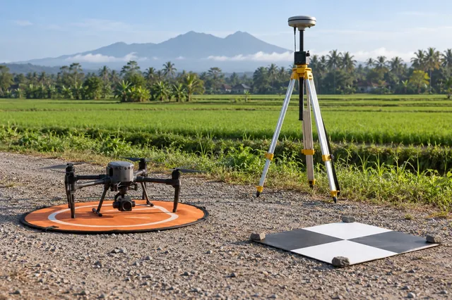
Antenna height connects a surveyed ground mark to the reference point used by the GNSS processing model.
5 min readRead article
THE DRONE COLLAB JOURNAL
Explore practical photogrammetry, GNSS, IMU, GIS and remote sensing methods. Technical explanations, worked examples and field checks for the people turning aerial photographs into usable maps.

Antenna height connects a surveyed ground mark to the reference point used by the GNSS processing model.
A relative rover solution is tied to the coordinates assigned to its reference station.
Relative GNSS positioning benefits when reference and rover observations share similar error components.
RTK relies on reference information associated with observation times.
An RTK float solution estimates carrier ambiguities as real valued parameters, while a fixed solution accepts a set of integer ambiguities under the processing model.
A carrier phase cycle slip is a discontinuity in the tracked whole cycle count, commonly associated with loss of lock or signal interruption.
Multipath occurs when a receiver observes reflected signals in addition to, or instead of, the direct path.
Dilution of precision describes how satellite geometry amplifies measurement uncertainty under a stated estimation model.
GNSS code observations estimate signal travel time through a recognizable transmitted pattern.
Synchronization establishes how timestamps from different devices refer to the same physical instant.
When GNSS aiding becomes unavailable, an integrated solution may continue by propagating its inertial state.
An inertial navigation solution needs an initial position, velocity, and attitude.
No matching articles. Try a broader technical term.