CLOUD PHOTOGRAMMETRY · GNSS · PPK · 3D MAPPING

Turn drone images into survey-ready maps and 3D.

Process aerial imagery in the cloud into orthomosaics, dense point clouds, DSM, DTM and textured 3D models. Correct positions with GNSS and PPK, then publish results to your mapping workflow.
Free trial: up to 200 images per job · 3 processing jobs · Then choose a paid plan when you are ready
Mapping mission
City
Mosaic complete100%
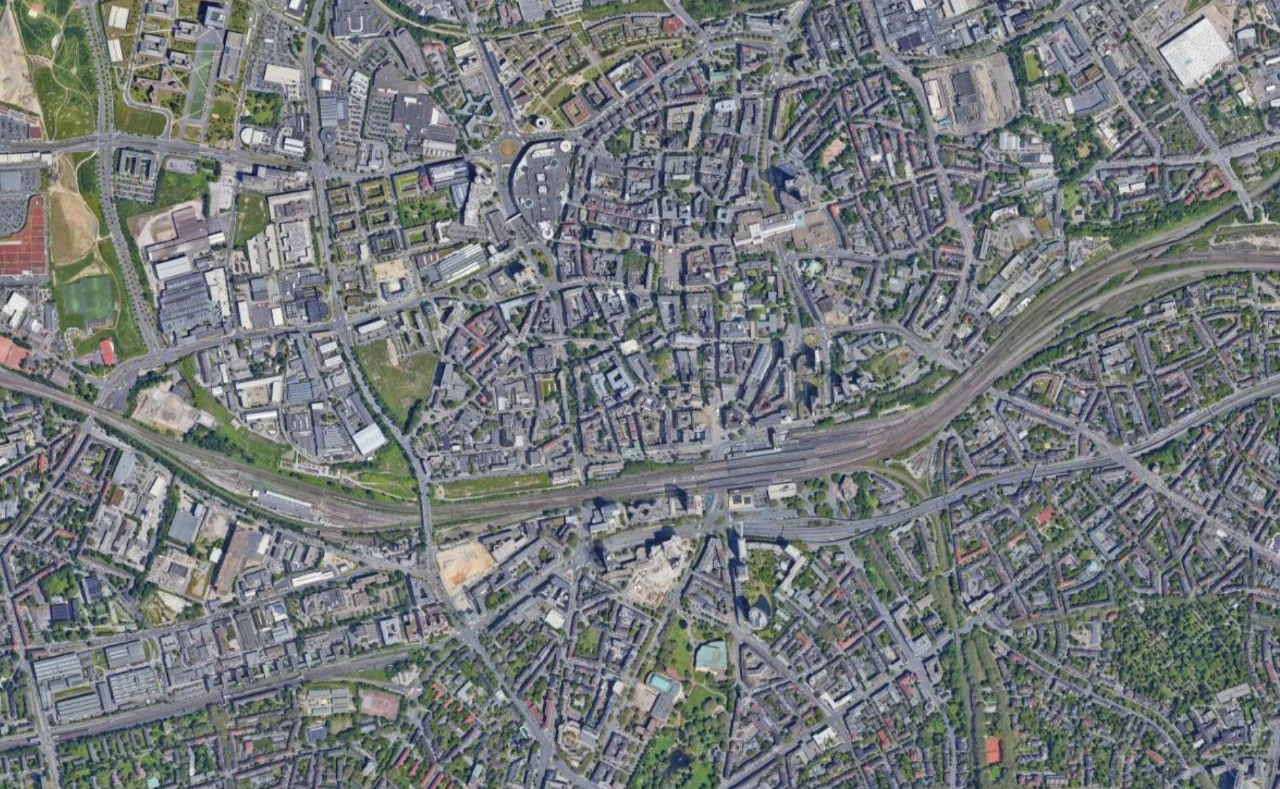
A flying-wing drone follows a mapping mission, revealing a continuous aerial mosaic one landscape photo at a time.
1,000 pts = $10Transparent processing conversion
Up to 10,000 imagesPublic preliminary estimator
15-day raw retentionIncluded with processing
2D + 3D outputsCloud delivery and viewing
3×
FREE TRIAL

Process your first drone datasets before choosing a paid plan.

Free trial: up to 200 images per job · 3 processing jobs · Then choose a paid plan when you are ready

200 images max / trial job3 free processing jobsNo paid subscription required to start
Trial limits apply to the free trial. Paid plans use the normal point-based processing model.
Integrated Drone Workflow

From field observations to cloud deliverables.

Use one workflow for positioning, image correction, photogrammetry processing and web delivery.

01

GNSS Processing

Process compatible survey observations, reference data and quality information for positioning workflows.

02

PPK Correction

Use rover logs, base or CORS observations and camera event timing to improve image positions.

03

Cloud Photogrammetry

Transform overlapping images into orthomosaics, point clouds, elevation surfaces and 3D models.

04

Web Mapping

Review and publish selected outputs to browser-based 2D and 3D mapping workflows.

Mapping Outputs

One image set. Every essential deliverable.

Cloud-ready products for survey, construction, mining, agriculture, infrastructure and geospatial projects.

OR

Orthomosaic

Georeferenced raster output for inspection, measurement and GIS mapping.

PC

Point Cloud

Dense point-cloud output for browser visualization, analysis and export.

Z

DSM & DTM

Elevation products for contours, terrain analysis, planning and volume workflows.

3D

Textured 3D

3D reconstruction for documentation, inspection and presentation.

Point-Based Processing

Your plan gives you points. Processing spends points.

Subscriptions provide storage and an included point balance. Photogrammetry jobs are charged by points, so the same transparent processing model scales across plan sizes.

Standard processing is only 2 points per image.

The rate is linear and easy to predict: 500 images = 1,000 points = US$10. Before upload, Drone Collab still shows and locks the exact quote.

2 points / image1,000 points = US$10 · 100 points = US$1
01 · PREFLIGHT

Read the dataset

Image count, file size, megapixels, metadata and selected processing options are checked.

02 · QUOTE

See points first

The app shows the point requirement and USD equivalent before the full upload.

03 · CONFIRM

Reserve points

Required points are reserved when you confirm the processing job.

04 · PROCESS

Run in cloud

Processing completes using cloud compute and delivers the selected outputs.

Subscription Pricing

Choose storage and included processing points.

Start with the free trial for up to 200 images per job and 3 processing jobs. When you are ready to subscribe, yearly billing is selected by default and the Standard annual plan at US$800/year is highlighted as the best-value professional package.

Starter

For individual surveyors and small teams
$300 / year
Save about 44% versus paying monthly for 12 months.
250 GBincluded storage
18,000included points
  • Cloud photogrammetry workspace
  • GNSS and PPK workflow access
  • 2D & 3D result viewing
  • Points used for processing jobs
Choose Starter
Best Value · $800/year

Standard

Best balance for recurring professional projects
$800 / year
Save about 44% versus paying monthly for 12 months.
1 TBincluded storage
48,000included points
  • Cloud photogrammetry workspace
  • GNSS and PPK workflow access
  • 2D & 3D result viewing
  • Points used for processing jobs
Choose Standard

Advanced

For larger teams and higher processing volume
$2,000 / year
Save about 44% versus paying monthly for 12 months.
2 TBincluded storage
120,000included points
  • Cloud photogrammetry workspace
  • GNSS and PPK workflow access
  • 2D & 3D result viewing
  • Points used for processing jobs
Choose Advanced

Enterprise

For organizations with large recurring workloads
$5,000 / year
Save about 44% versus paying monthly for 12 months.
5 TBincluded storage
300,000included points
  • Cloud photogrammetry workspace
  • GNSS and PPK workflow access
  • 2D & 3D result viewing
  • Points used for processing jobs
Choose Enterprise

Included points are processing balance. When the balance is insufficient, additional points can be purchased without changing your subscription. Annual plans renew their included point allowance each billing cycle.

Processing Calculator

Estimate your first point charge before uploading.

This public calculator uses the current Drone Collab standard rate of 2 points per image. The application reads the active pricing configuration and locks the exact quote before upload.

How the estimate works

Move the image slider and choose a subscription. Standard 15-day processing is a direct 2 points per image, so the estimate is transparent at every project size.

ImagesStandard pointsEquivalent USD
100200US$2
5001,000US$10
1,0002,000US$20
2,0004,000US$40
5,00010,000US$100
10,00020,000US$200
102,5005,0007,50010,000
1,000 pointsestimated first processing charge
US$10equivalent processing value
48,000 pointsincluded plan balance
47,000 pointsestimated balance after one job
This plan includes enough points for the current estimate. Current standard processing is 2 points per image with 15-day raw retention; any separately priced retention option is shown before confirmation.
STEP BY STEP

Your first processing job, in order

Follow the same sequence shown in the illustrated basic processing tutorial.

  1. Import photos

    Open Photos and upload images, a folder or a supported ZIP. Wait until the photo group is Ready.

  2. Set up processing

    Open Ortho Processing, select your photo group, then choose outputs, quality and retention.

  3. Review and start

    Check Required Points, your balance and the final summary, then select Start Processing.

  4. View the results

    Follow My Processing. When complete, find the generated outputs in Layers and open or download them.

PHOTO MANAGEMENT

Aerial images catalog

Inspect your imagery before processing.

Browse photo groups, search by filename or folder, and open image previews with metadata. Review the images you will use for the next processing job.

  • Photo groups and searchable file lists
  • Image previews with zoom controls
  • File details and image metadata
Explore the photo workflow
Actual application screenshot · Click to enlarge
CLOUD PROCESSING

Orthomosaic processing

Follow the job and access its outputs.

Monitor cloud processing, check completion, and open available results in your project. Download the processing report, orthomosaic, point cloud, DSM, DTM and 3D tiles when generated.

  • Processing status and progress
  • Outputs available for download
  • Open results as project layers
Follow the processing tutorial
Actual application screenshot · Click to enlarge
POSITIONING

GNSS, PPK and geotagging

Prepare positions for your image workflow.

Work with compatible base and rover observations for static GNSS or PPK processing. Use the geotagging workflow to connect supported positioning results with your drone photos.

  • Static GNSS positioning
  • PPK base and rover workflow
  • Image geotagging
Read the GNSS and PPK guide
Actual application screenshot · Click to enlarge
MAP PRESENTATION

Prepare and share your map

Present results in a clear map layout.

Arrange a map title, legend, scale bar, north arrow and inset map. Print or export a map layout, then use Share Map Settings to publish and share your mapping results.

  • Map layout and cartographic elements
  • Print and PDF export
  • Map publishing and sharing
See print, export and sharing
Actual application screenshot · Click to enlarge
Frequently Asked Questions

What to know before processing.

Your subscription includes a point balance. Each processing job is quoted in points, and the required points are reserved when you confirm the job. The subscription tier determines your included storage and point allowance; the processing charge itself is point based.
The standard conversion is 1,000 points = US$10, or 100 points = US$1. The estimator shows both points and the equivalent USD value.
Drone Collab checks the image count and active pricing configuration, then locks the exact quote before the full upload begins. Standard processing with 15-day raw retention is 2 points per image.
Raw input images are stored temporarily for 15 days as part of the processing price. Final outputs that you choose to keep use your plan storage.
Standard processing can include orthomosaic, DSM, DTM, dense point cloud, textured 3D outputs and a processing report. Under the current pricing version, selecting more standard outputs does not increase the 2 points per image rate.
Yes. New users can try up to 3 processing jobs with up to 200 images per trial job. The trial is intended to let you validate the workflow before choosing a paid subscription. Paid plans then use the normal point-based processing model.
The public estimator provides a preliminary estimate up to 10,000 images. Projects above 2,000 images still require capacity, memory, storage and delivery validation before processing is confirmed.

Try Drone Collab free with your own imagery.

Start with up to 200 images per trial job for 3 processing jobs. Then choose a paid plan, review point estimates before processing, and scale to larger mapping and 3D projects.

Start Free Trial