
Open workspace ↗
DRONECOLLAB · TECHNOGIS

Print, export and share your map

Prepare a map layout, save a PDF or print it, then configure sharing from Publish.

Prepare your drone mapping deliverables for web map sharing, then follow the layout and publishing steps below.

DroneCollab Print Layout panel for configuring a map and PDF output
Print & Export
1Find the Publish tools
2Prepare the layout and output
3Configure sharing and data exports

Print, export and share your map

Click screenshots to enlarge

1
Publish / Print · Share

Find the Publish tools

In the Publish group, choose the printer icon to open the map layout.

The neighbouring share icon opens Share Map Settings. Choose the output you need.
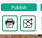
Publish toolbar with Print and Share tools in DroneCollab
Publish / Print · Share
2
Print Layout / PDF · Print

Prepare the layout and output

Choose paper size and orientation. Adjust the map view, title, legend, scale, north arrow and other layout items.

Check the preview, then use the PDF icon or printer button to export or print the layout.
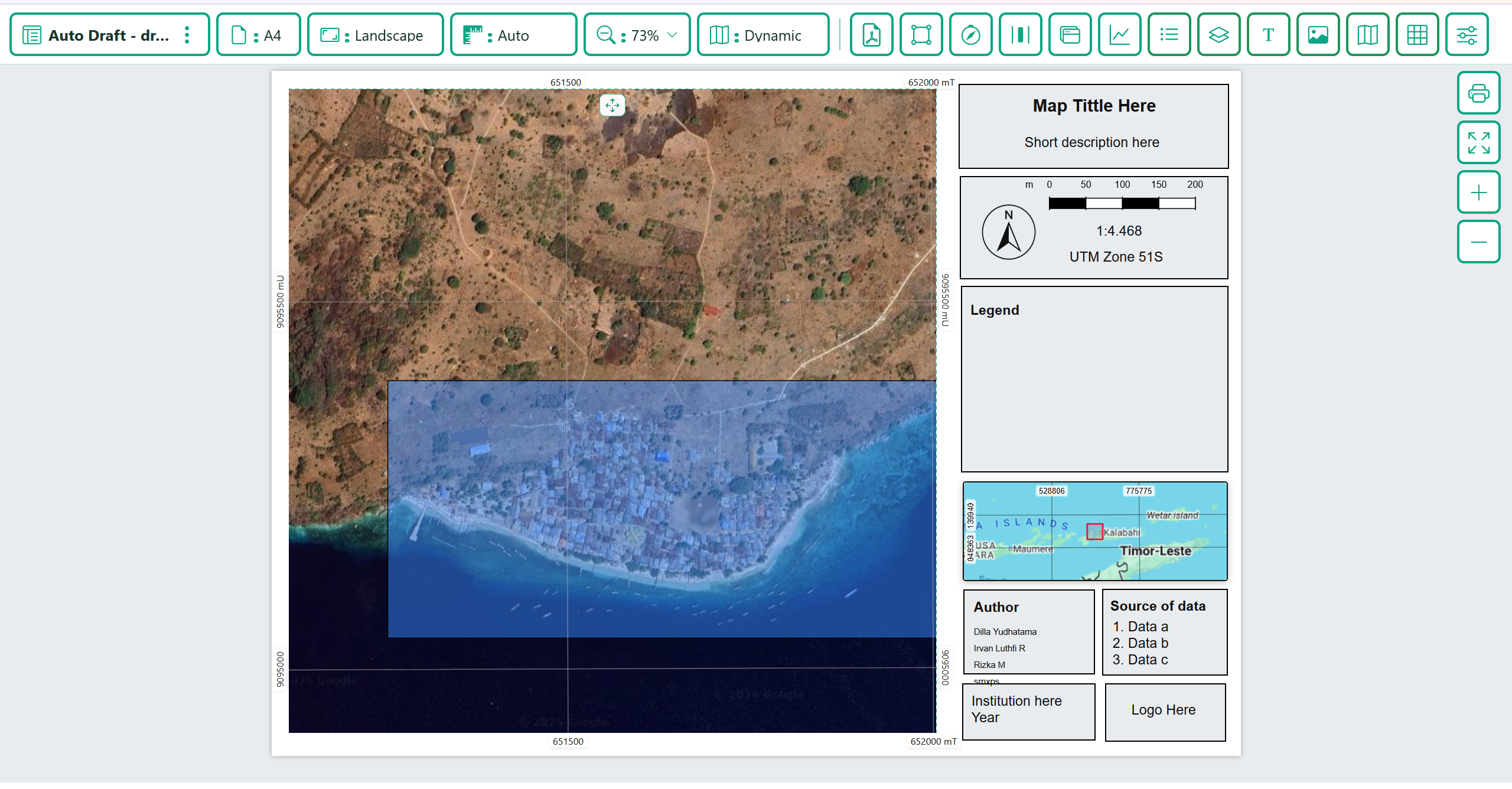
DroneCollab Print Layout panel for configuring a map and PDF output
Print Layout / PDF · Print
3
Publish / Share Map Settings

Configure sharing and data exports

Open Share Map Settings. Complete Basic Information and review Layers, Tools, Template and Setting, then click Save Share Settings.

Use the available Public Link or Embed Map controls after saving. For data files, open Drone Toolbox and choose Export Vector, Export Raster or Point Cloud Export.
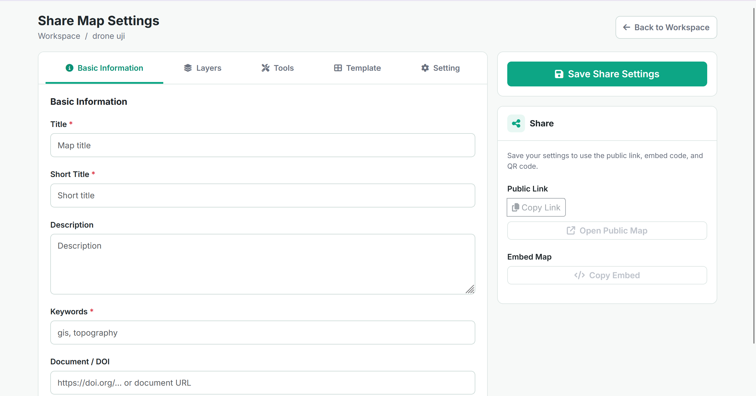
Share Map Settings panel for publishing a DroneCollab web map
Publish / Share Map Settings

Print, export and share your map

Check the map content and selected layers before sharing. Map-layout output and data-layer export serve different purposes.

Open workspace ↗