
DroneCollab tutorials
Learn from your first account to your finished map.
Follow the tutorials in order, or choose the topic you need.
Explore cloud drone mapping and cloud photogrammetry with DroneCollab, then follow the tutorials below.
Foundation tutorials
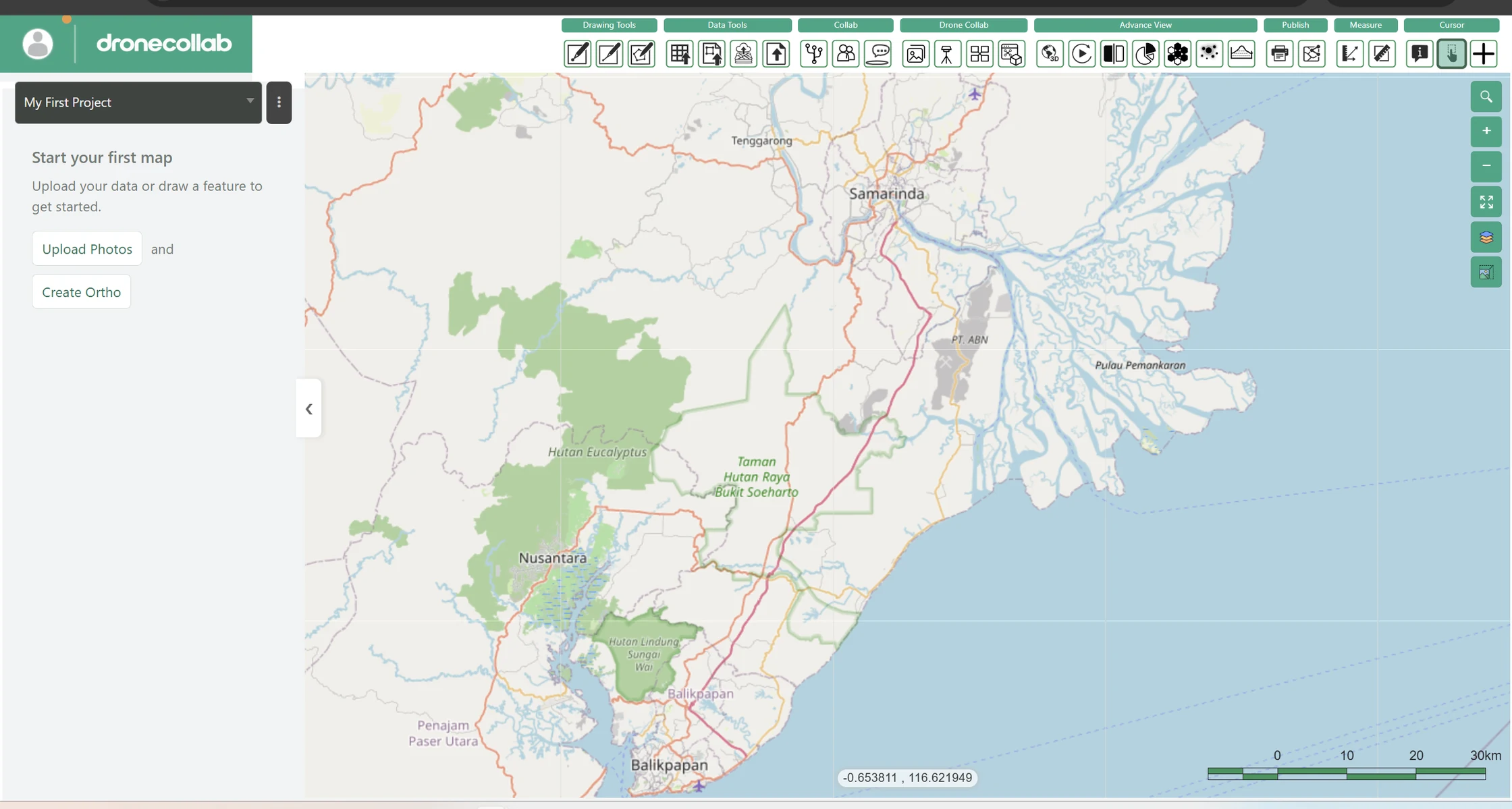
Create your DroneCollab account
From registration to your first cloud mapping workspace, in six illustrated screens.
Open tutorial →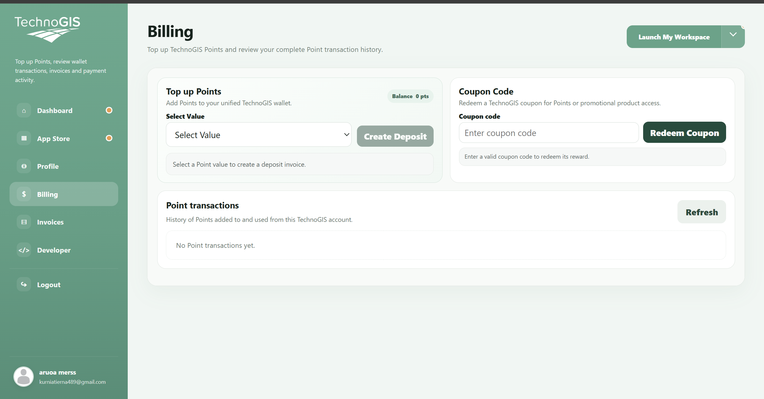
Redeem your DroneCollab coupon
Use your coupon from the workspace profile menu to Billing, in two illustrated steps.
Open tutorial →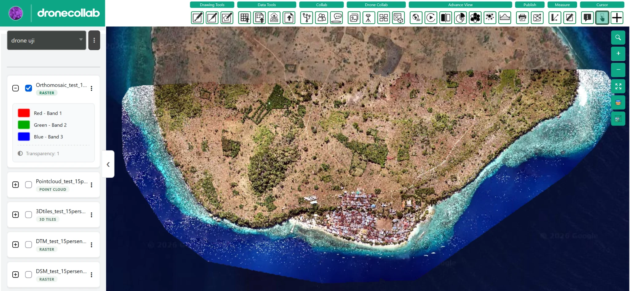
Turn drone photos into maps and 3D models.
A step-by-step guide to importing a Google Drive ZIP, processing photogrammetry data, and viewing your outputs in Layers.
Open tutorial →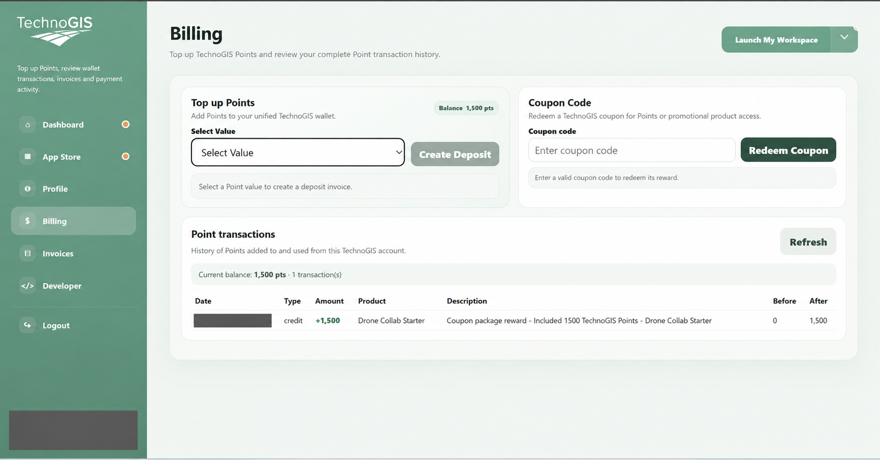
Top up DroneCollab points
Create a deposit in Billing, review your invoice, complete payment and check your updated point balance.
Open tutorial →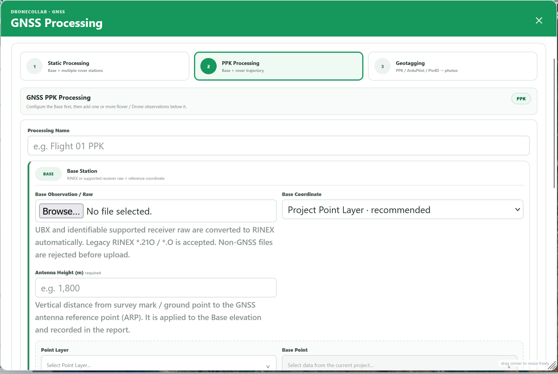
PPK Post Processing & Geotagging
Process GNSS base stations, correct drone trajectories with PPK, review EventPost results and geotag photos in DroneCollab. Full form parameters explained.
Open tutorial →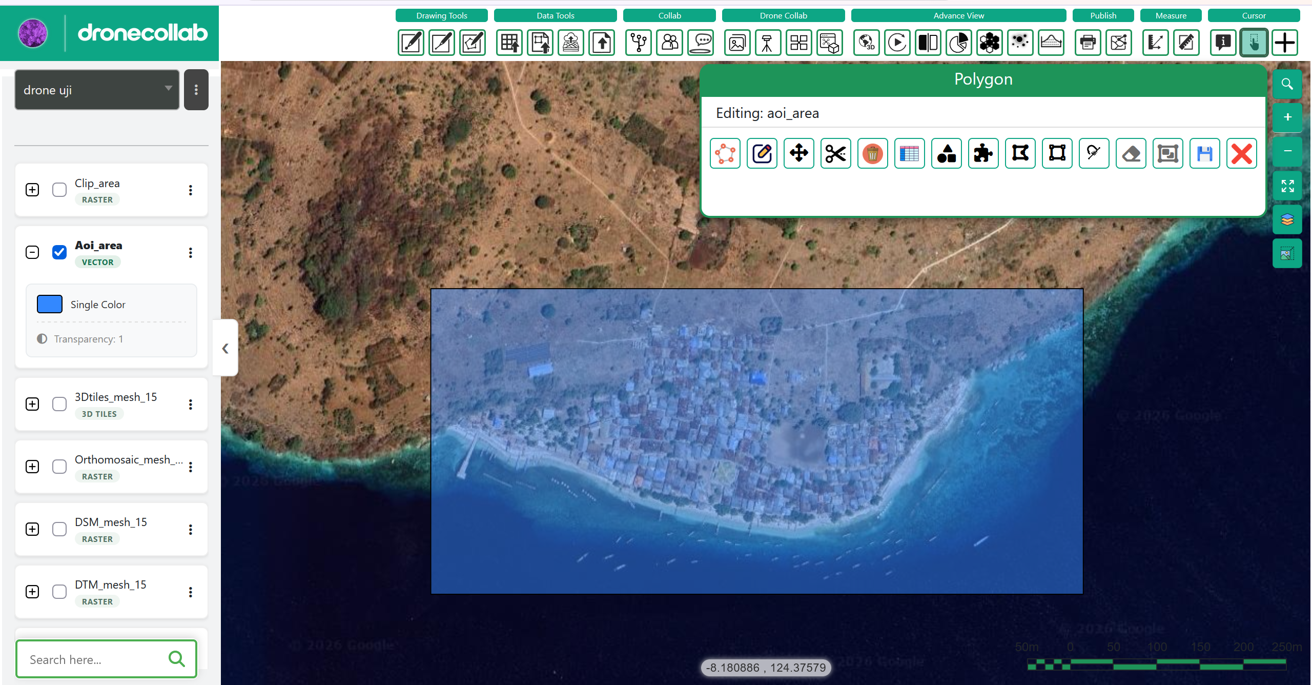
Draw points, lines and areas
Create vector layers on your drone map and complete their feature attributes.
Open tutorial →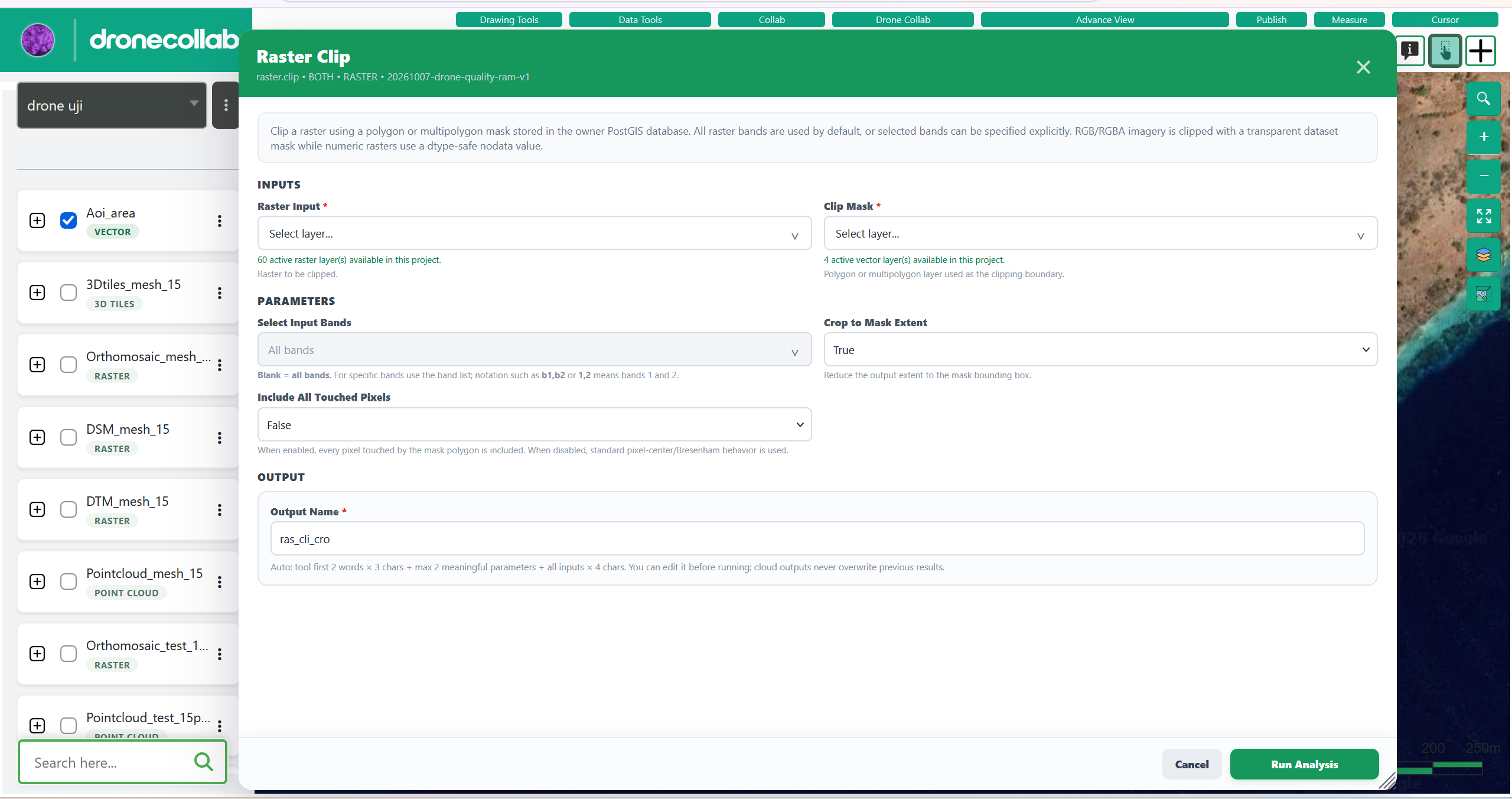
Use post processing tools
Use Drone Toolbox to work with your results. This example clips a raster with a polygon.
Open tutorial →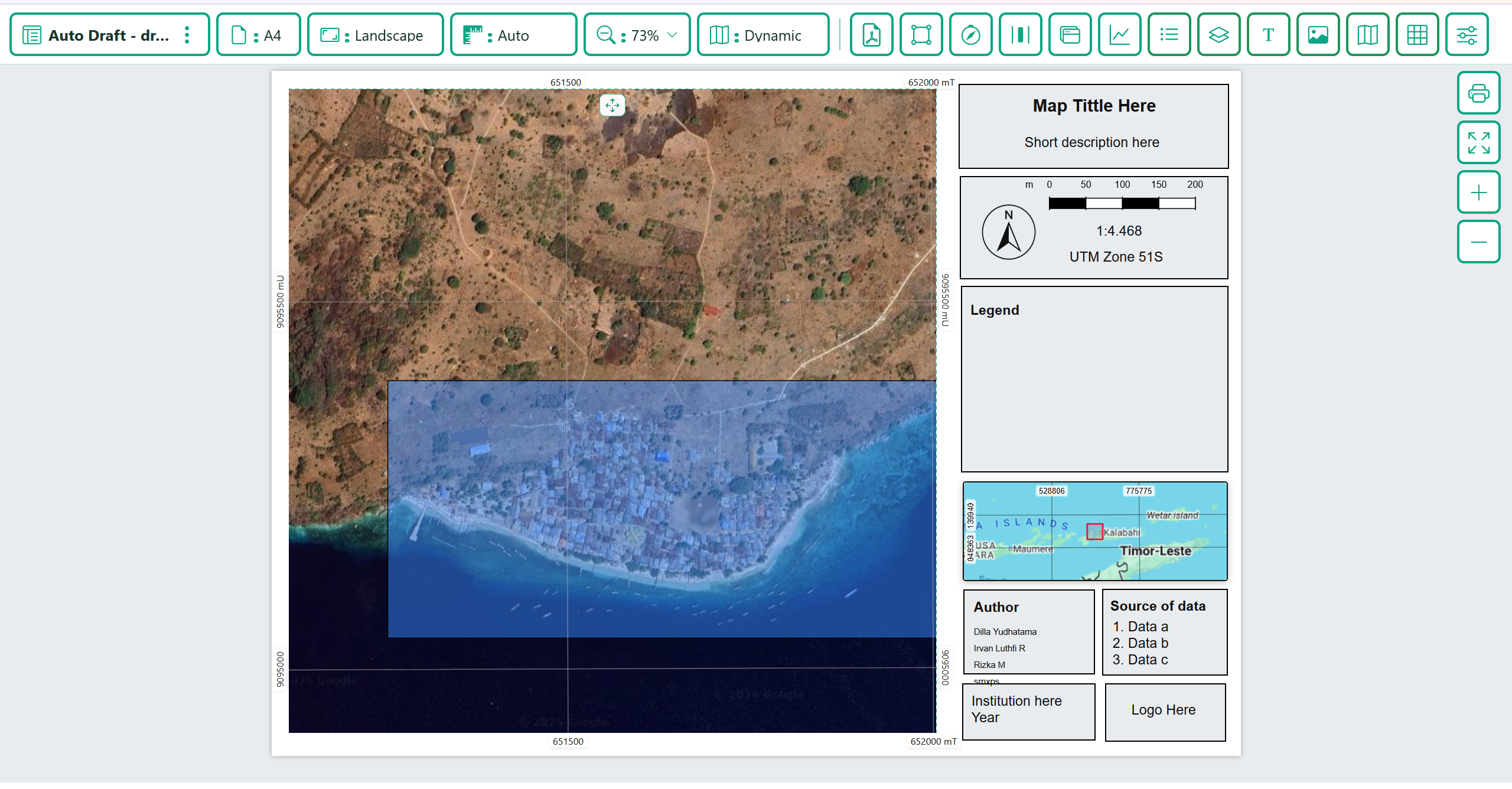
Print, export and share your map
Prepare a map layout, save a PDF or print it, then configure sharing from Publish.
Open tutorial →