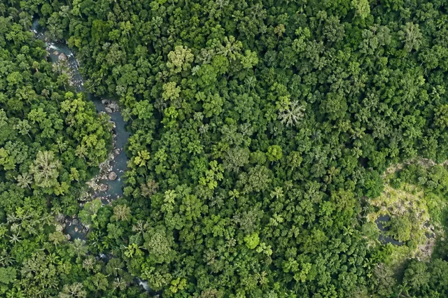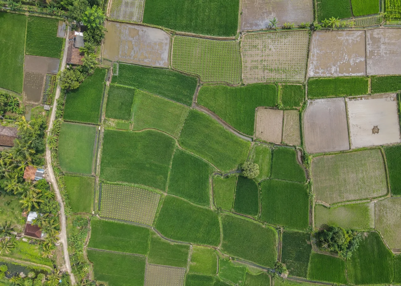
Start with the operational question
NDVI combines near-infrared and red reflectance as their difference divided by their sum. It summarizes a spectral contrast associated with vegetation, but multiple surface and plant conditions can produce similar values. A useful map identifies relative patterns within an appropriate crop and observation context.
The working question is: What can a low NDVI area justify saying before field evidence is collected? Define canopy interpretation zones before the survey begins and identify who will review them. Agree what evidence would change an inspection, sampling or management decision. This keeps the map tied to a testable task and makes it possible to distinguish a useful observation from an attractive output that cannot resolve the question.
Understand what the image actually observes
Low values may reflect exposed soil, water, shadow, sparse canopy or plant condition. Dense canopies can also reduce sensitivity to additional biomass. RGB photographs do not contain a near-infrared band merely because software can produce a green-looking index.
For canopy interpretation zones, the measurement definition is part of the result. Keep the measurement support explicit: a pixel, a segmented object, a sample plot and a management block represent different areas and sources of variation. Changing pixel size does not create independent information or improve the underlying sensor observation. Decide whether the task concerns locating targets, estimating area, comparing numeric observations or predicting a field property. Each requires a different evaluation denominator. Preserve uncertain labels and unobservable regions so a complete-looking classification cannot hide missing evidence. The final quality claim should refer to the actual task, geography and conditions tested.
Design capture around the target and its confounders
Capture planning for canopy interpretation zones should begin with the intended comparison. Design the observation and reference collection together. List the target, the sensor response that could distinguish it, the expected confounding surfaces and the scale at which a decision is made. Capture representative easy and difficult conditions rather than only a visually clean demonstration. Retain acquisition time, camera information, calibration records and relevant environmental context. Where multiple bands or dates are involved, plan a way to evaluate their alignment and comparability. A small pilot should reveal whether the proposed feature is actually observable before a larger automated analysis is treated as a reliable measurement.
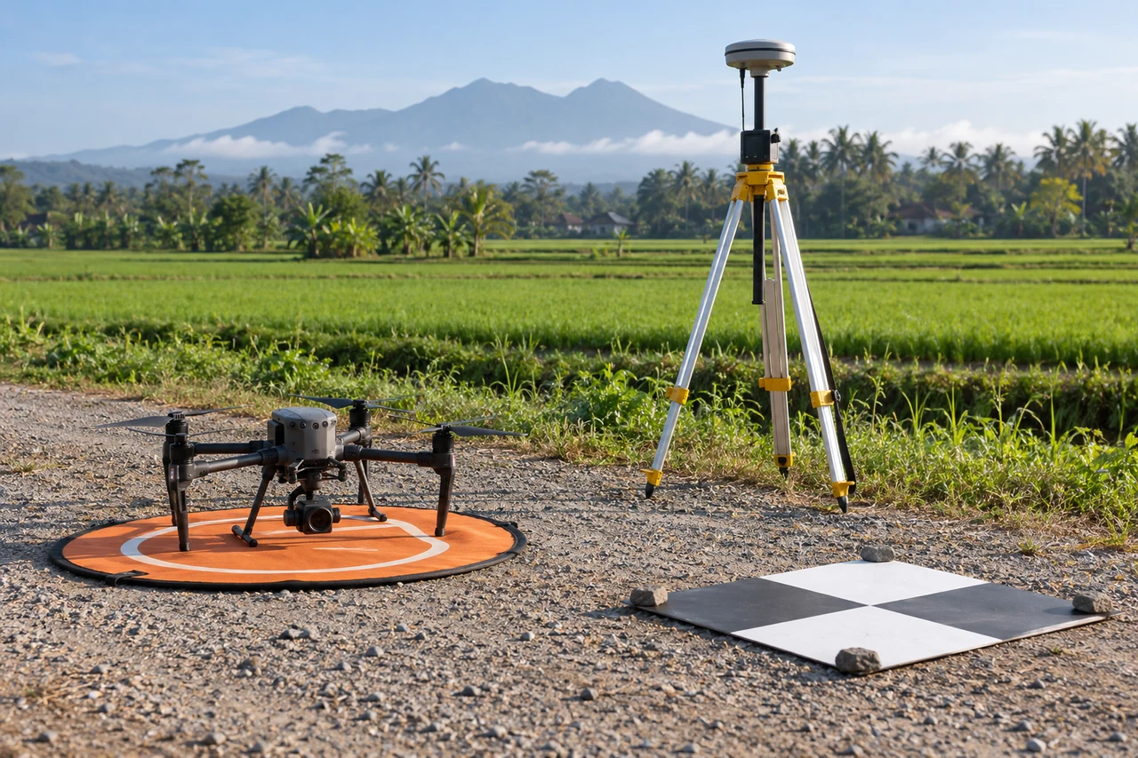
Build a traceable processing and analysis workflow
Verify band identities, reflectance processing and invalid-pixel masks before calculating NDVI. Separate crop from paths and water, compare appropriate growth stages and inspect within-zone distributions. Form several plausible explanations for anomalous zones, then design field checks that can distinguish those explanations.
Quality review for canopy interpretation zones must continue after processing completes. Preserve raw or original numeric inputs alongside display products. Verify formulas, band identities, masks, coordinate references and resampling choices. Review representative source-to-output locations and inspect whether seams, edge pixels or mixed surfaces dominate the feature of interest. Record preprocessing and model versions so an update can be reproduced. Use independent evaluation units that reflect deployment, not merely convenient random pixels. Compare a proposed sophisticated feature with a simpler baseline; additional complexity is justified only when it improves the specified measurement or decision under a fair evaluation.
Work through an illustrative example
For illustration, reflectances of 0.5 in near-infrared and 0.1 in red give NDVI of about 0.67. Values of 0.3 and 0.1 give 0.50. The arithmetic describes a contrast; it does not identify why the near-infrared measurement differs or specify a fertilizer rate.
This example for canopy interpretation zones is deliberately illustrative, not a reported outcome or an accuracy promise. Replace its assumptions with the project’s measured values before using the reasoning operationally. Keep the numerator, denominator, observation date and exclusions visible. If a plausible boundary, visibility or reference change alters the decision, collect the missing evidence or retain the case as unresolved rather than reporting extra decimal places.
Validate with independent field evidence
Collect canopy coverage, crop stage and relevant plant or soil observations in both low and high zones. Include exposed-soil examples. Test whether the interpretation survives reasonable mask changes and independent field observations.
An evaluation of canopy interpretation zones should include both flagged targets and suitable unflagged reference locations. Checking only the most obvious candidates can estimate neither the missed targets nor the full false-alarm pattern. Separate observations used to adjust the method from those used to evaluate it. Keep the sampling unit and selection method explicit, and report difficult or unobservable cases rather than dropping them silently. When field timing differs from image timing, explain whether the site could have changed between visits. A disagreement is evidence to investigate, not an instruction to force the ground record to match the map.
Resolve the topic-specific interpretation risks
NDVI interpretation should retain the original reflectance distributions and crop-mask coverage instead of reporting only a class label. A zone can have a low average because it contains many bare pixels, even while its visible plants resemble those in a higher-average zone. Check the denominator when reflectance values are very small and mask invalid observations according to the processing method. When a field hypothesis is confirmed, store the independent evidence explicitly; do not relabel all similar index values as the same diagnosis elsewhere without evaluating that relationship.
Hand over evidence that the receiving team can use
Label the layer with its actual index, date and masks. Deliver scouting hypotheses rather than disease names or nutrient prescriptions unless a suitable locally validated model supports those specific inferences.
For the canopy interpretation zones handover, retain stable identifiers, the source observation date, the coordinate reference, the analysis boundary and the valid-observation status. Supply both an accessible overview and the relevant geospatial data where needed. Attach a short exception register that explains unresolved features and the next useful check. If the data are revised, preserve the reason and version so quantities or statuses can be traced. Ask the receiving team to locate a sample item and interpret its confidence; that practical review often reveals missing context that a file-integrity check cannot detect.
When evaluating Online Photogrammetry Software for canopy interpretation zones, assess the complete workflow with a representative dataset. DroneCollab can be considered for preparing photogrammetric mapping outputs, while task-specific interpretation and field validation remain essential. Compare the required exports, review process and actual pilot evidence before selecting a workflow for recurring work.