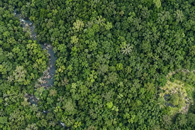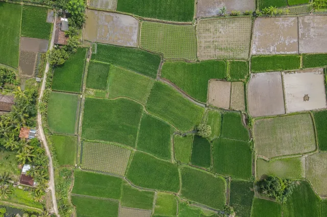
Start with the operational question
The minimum mapping unit defines the smallest object or area the project will report consistently. It should reflect image resolution, boundary uncertainty, target definition and the action a user can take. A very detailed raster does not guarantee that every tiny connected pixel cluster is a meaningful management object.
The working question is: How small should a reported patch be before map detail becomes operational noise? Define minimum reportable patches before the survey begins and identify who will review them. Agree what evidence would change an inspection, sampling or management decision. This keeps the map tied to a testable task and makes it possible to distinguish a useful observation from an attractive output that cannot resolve the question.
Understand what the image actually observes
Speckled classifications can fragment one real patch into many objects. Aggressive smoothing can erase narrow but important features such as drains or riparian strips. Using one area threshold for all feature types can therefore lose relevant structure.
For minimum reportable patches, the measurement definition is part of the result. Keep the measurement support explicit: a pixel, a segmented object, a sample plot and a management block represent different areas and sources of variation. Changing pixel size does not create independent information or improve the underlying sensor observation. Decide whether the task concerns locating targets, estimating area, comparing numeric observations or predicting a field property. Each requires a different evaluation denominator. Preserve uncertain labels and unobservable regions so a complete-looking classification cannot hide missing evidence. The final quality claim should refer to the actual task, geography and conditions tested.
Design capture around the target and its confounders
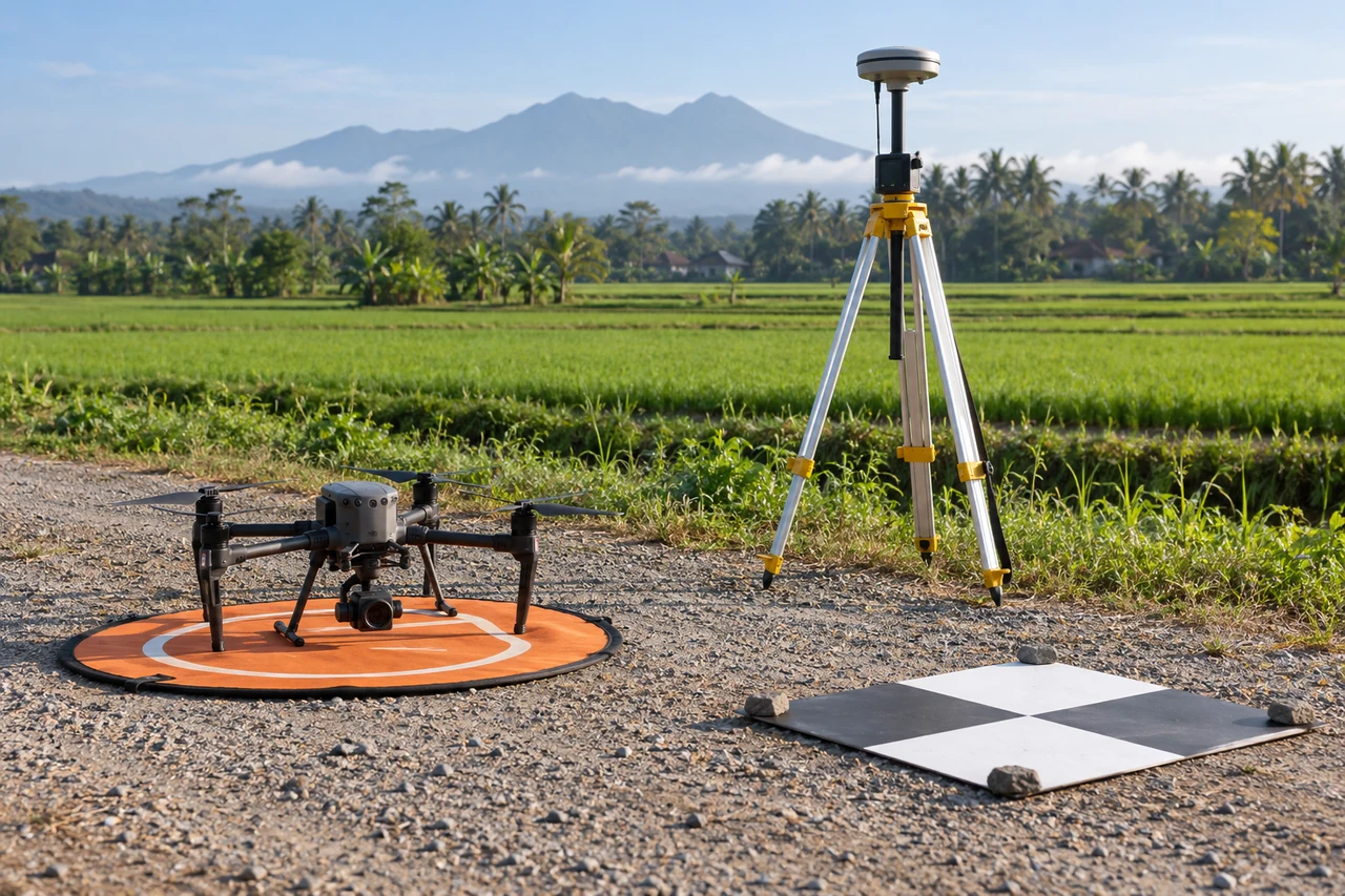
Capture planning for minimum reportable patches should begin with the intended comparison. Design the observation and reference collection together. List the target, the sensor response that could distinguish it, the expected confounding surfaces and the scale at which a decision is made. Capture representative easy and difficult conditions rather than only a visually clean demonstration. Retain acquisition time, camera information, calibration records and relevant environmental context. Where multiple bands or dates are involved, plan a way to evaluate their alignment and comparability. A small pilot should reveal whether the proposed feature is actually observable before a larger automated analysis is treated as a reliable measurement.
Build a traceable processing and analysis workflow
Set class-specific reporting rules where necessary, including narrow linear features and isolated area patches. Test them on labeled examples across the expected size range. Record which objects are merged, filtered or retained. Evaluate whether the resulting map supports field navigation and quantity summaries without hiding systematic small targets.
Quality review for minimum reportable patches must continue after processing completes. Preserve raw or original numeric inputs alongside display products. Verify formulas, band identities, masks, coordinate references and resampling choices. Review representative source-to-output locations and inspect whether seams, edge pixels or mixed surfaces dominate the feature of interest. Record preprocessing and model versions so an update can be reproduced. Use independent evaluation units that reflect deployment, not merely convenient random pixels. Compare a proposed sophisticated feature with a simpler baseline; additional complexity is justified only when it improves the specified measurement or decision under a fair evaluation.
Work through an illustrative example
For illustration, a cleanup team can locate individual large debris objects but cannot use thousands of isolated uncertain pixels as separate tasks. A patch inventory needs object confidence and location. A habitat assessment may instead retain connected narrow vegetation that would fail a simple area filter.
This example for minimum reportable patches is deliberately illustrative, not a reported outcome or an accuracy promise. Replace its assumptions with the project’s measured values before using the reasoning operationally. Keep the numerator, denominator, observation date and exclusions visible. If a plausible boundary, visibility or reference change alters the decision, collect the missing evidence or retain the case as unresolved rather than reporting extra decimal places.
Validate with independent field evidence
Check targets near the proposed size threshold and compare their ground identity with map objects. Ask field users whether the reported unit is locatable and actionable. Document cases where linear importance overrides a small area.
An evaluation of minimum reportable patches should include both flagged targets and suitable unflagged reference locations. Checking only the most obvious candidates can estimate neither the missed targets nor the full false-alarm pattern. Separate observations used to adjust the method from those used to evaluate it. Keep the sampling unit and selection method explicit, and report difficult or unobservable cases rather than dropping them silently. When field timing differs from image timing, explain whether the site could have changed between visits. A disagreement is evidence to investigate, not an instruction to force the ground record to match the map.

Resolve the topic-specific interpretation risks
Minimum mapping units should be tested with actual field navigation. A patch that cannot be found reliably may need a grouped task area or a better reference, while a small but important crossing should remain a distinct asset. Record the difference between detection resolution and reporting resolution. Filtering tiny objects can simplify delivery, but the omitted class area may still matter for an estimate. Preserve a count or area of filtered candidates when relevant, making clear that a cleaner map reflects a reporting rule rather than a perfectly uniform landscape.
Hand over evidence that the receiving team can use
Attach the mapping-unit definition to the delivered data. Changes in threshold should be versioned because they can change apparent patch counts and areas even when the underlying surface remains unchanged.
For the minimum reportable patches handover, retain stable identifiers, the source observation date, the coordinate reference, the analysis boundary and the valid-observation status. Supply both an accessible overview and the relevant geospatial data where needed. Attach a short exception register that explains unresolved features and the next useful check. If the data are revised, preserve the reason and version so quantities or statuses can be traced. Ask the receiving team to locate a sample item and interpret its confidence; that practical review often reveals missing context that a file-integrity check cannot detect.
When evaluating Online Photogrammetry Software for minimum reportable patches, assess the complete workflow with a representative dataset. DroneCollab can be considered for preparing photogrammetric mapping outputs, while task-specific interpretation and field validation remain essential. Compare the required exports, review process and actual pilot evidence before selecting a workflow for recurring work.