Tailings Facility Surface Mapping as Supporting Inspection Evidence
Drone imagery can document accessible visible features around a tailings facility, including water extent, exposed surface patterns, roads and apparent erosion.
THE DRONE COLLAB JOURNAL
Explore practical photogrammetry, GNSS, IMU, GIS and remote sensing methods. Technical explanations, worked examples and field checks for the people turning aerial photographs into usable maps.

Drone imagery can document accessible visible features around a tailings facility, including water extent, exposed surface patterns, roads and apparent erosion.
Mine rehabilitation monitoring should distinguish planted vegetation, natural colonization, exposed substrate, drainage features and infrastructure.
A stockpile survey measures the visible upper surface, while volume requires a base beneath it.
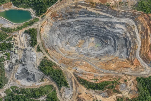
Quarry mapping can document bench edges, exposed faces, access and visible surface geometry.
Forest nursery seedlings may be small, densely spaced or partly hidden by shade structures.
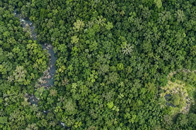
Riparian continuity analysis links stream reaches with the vegetation visible beside them.
A harvest monitoring map can distinguish canopy removal, skid trails, landings, roads and retained patches.
Agroforestry often combines shade trees, crop canopies and ground vegetation in overlapping layers.
Drone surveys can help locate invasive vegetation when the target has a distinctive visible canopy or seasonal signature.
After a fire, aerial imagery can document surviving canopy, scorched foliage, exposed mineral ground and visible char patterns.
Post-storm mapping can document broken canopy, fallen-tree orientation, blocked access and disturbance clusters.
Forest roads can concentrate runoff along wheel tracks, cuts and drainage structures.
No matching articles. Try a broader technical term.