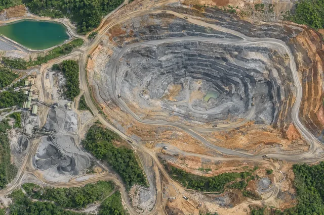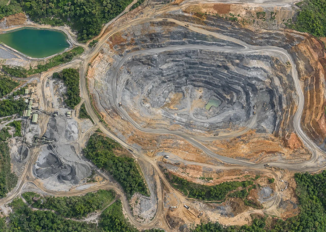
Start with the operational question
A stockpile survey measures the visible upper surface, while volume requires a base beneath it. The pile boundary and base definition can influence the result as much as image detail. Keep separate pile identifiers, survey dates and inventory states so quantities correspond to a known material configuration.
The working question is: What assumptions about the hidden base control the reported stockpile volume? Define stockpile inventory objects before the survey begins and identify who will review them. Agree what evidence would change an inspection, sampling or management decision. This keeps the map tied to a testable task and makes it possible to distinguish a useful observation from an attractive output that cannot resolve the question.
Understand what the image actually observes
A flat base may be inappropriate on a sloping pad. Adjacent merged piles can make boundaries ambiguous, and ongoing loading changes the surface during capture. Volume is not mass unless a suitable bulk-density measurement is supplied.
For stockpile inventory objects, the measurement definition is part of the result. Separate the observed surface from a hidden base, an engineered design and any inferred subsurface feature. State the inventory or analysis boundary and the timestamp or capture interval. Decide whether the quantity is area, geometric volume, profile position or a neutral feature observation. Mass needs additional density evidence, and water storage needs suitable level and basin information. Keep temporary objects and unsupported faces out of consequential surface calculations unless the method explicitly handles them. A detailed model cannot remove uncertainty in the definition of the quantity being estimated.
Design capture around the target and its confounders
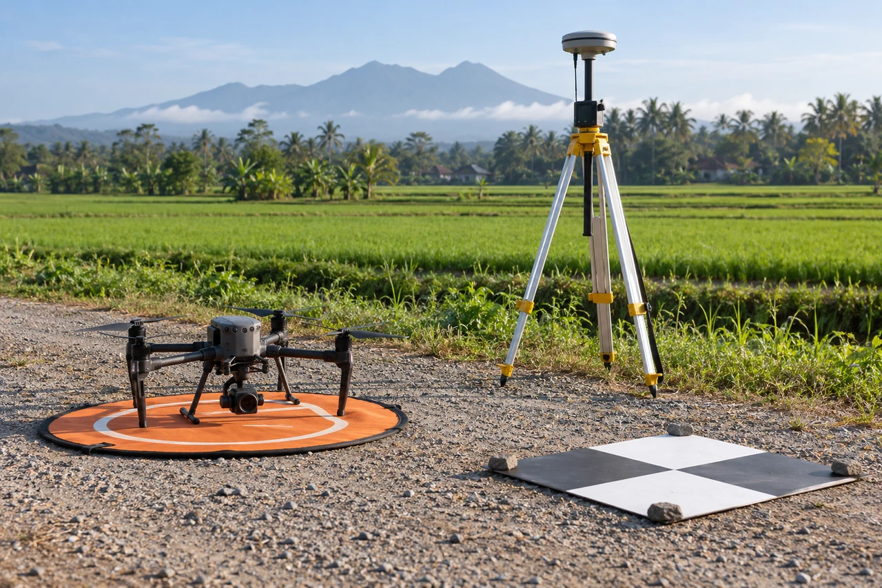
Capture planning for stockpile inventory objects should begin with the intended comparison. Coordinate the survey window and viewing geometry with responsible site staff. Record active earthmoving, material handling, water operations and temporary obstructions that may change the surface during capture. Steep faces and complex piles need suitable coverage rather than an assumption that a top-down grid sees everything. Use stable reference locations and independent checks appropriate to the intended measurement. Site access and field observations should follow established operational procedures. The aerial survey contributes dated visible geometry; engineering condition, subsurface state and operational safety require the responsible professionals’ wider monitoring and inspection evidence.
Build a traceable processing and analysis workflow
Agree on pile extents and an accepted base source, such as a documented empty-pad survey where available. Inspect surface reconstruction and edge support. Calculate volume using the stated base, then test a reasonable alternative base or boundary to show sensitivity. Reconcile capture time with loading and haulage records.
Quality review for stockpile inventory objects must continue after processing completes. Review geometry at steep faces, pile edges, water margins and repetitive surfaces, using original images and point support. Mask occlusion and interpolation that cannot support the measurement. Confirm coordinate and vertical references before comparing with design or earlier surveys. Retain the chosen boundaries, base surfaces and processing version with the result. Test the sensitivity of quantities to reasonable alternatives where hidden or ambiguous geometry matters. Distinguish known operational change from unexplained differences, and have consequential findings reviewed through the site’s responsible survey, engineering or inspection process.
Work through an illustrative example
For illustration, an average base elevation error of 0.10 meter over a 2,000-square-meter footprint changes volume by about 200 cubic meters. This simple calculation shows why a small systematic base error matters. It is a sensitivity example, not a claimed survey accuracy.
This example for stockpile inventory objects is deliberately illustrative, not a reported outcome or an accuracy promise. Replace its assumptions with the project’s measured values before using the reasoning operationally. Keep the numerator, denominator, observation date and exclusions visible. If a plausible boundary, visibility or reference change alters the decision, collect the missing evidence or retain the case as unresolved rather than reporting extra decimal places.
Validate with independent field evidence
Check pad elevations and accessible pile-edge references independently. Review material movements during the observation interval. If mass is needed, use appropriate density sampling and report density uncertainty separately.
An evaluation of stockpile inventory objects should include both flagged targets and suitable unflagged reference locations. Checking only the most obvious candidates can estimate neither the missed targets nor the full false-alarm pattern. Separate observations used to adjust the method from those used to evaluate it. Keep the sampling unit and selection method explicit, and report difficult or unobservable cases rather than dropping them silently. When field timing differs from image timing, explain whether the site could have changed between visits. A disagreement is evidence to investigate, not an instruction to force the ground record to match the map.
Resolve the topic-specific interpretation risks
Stockpile reports should record whether material was moving during capture and whether separate flights describe the same inventory state. A pile may change before the final image is taken, creating a model that does not correspond to one clean timestamp. Ask operations to define a suitable survey window or document movements that must be reconciled. Preserve the original boundary and base surfaces used for each quantity. If a later review changes either assumption, publish a revised estimate with the reason instead of silently replacing the earlier inventory figure.
Hand over evidence that the receiving team can use
Deliver volume, base definition, boundary version and sensitivity. Keep inventory reconciliation transparent when a discrepancy could come from geometry, material movement, density or timing.
For the stockpile inventory objects handover, retain stable identifiers, the source observation date, the coordinate reference, the analysis boundary and the valid-observation status. Supply both an accessible overview and the relevant geospatial data where needed. Attach a short exception register that explains unresolved features and the next useful check. If the data are revised, preserve the reason and version so quantities or statuses can be traced. Ask the receiving team to locate a sample item and interpret its confidence; that practical review often reveals missing context that a file-integrity check cannot detect.
When evaluating Drone Mapping Software for stockpile inventory objects, assess the complete workflow with a representative dataset. DroneCollab can be considered for preparing photogrammetric mapping outputs, while task-specific interpretation and field validation remain essential. Compare the required exports, review process and actual pilot evidence before selecting a workflow for recurring work.