The site decision and observation unit
This guide examines reflectance calibration records when a mapping team needs to target scouting in maize blocks without confusing crop stage and damage. The goal is to connect a specific technical choice to observable site evidence, an independently checkable comparison and a clear delivery decision.
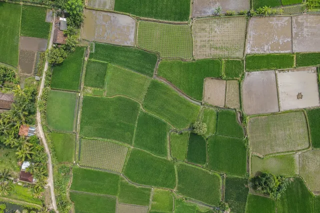
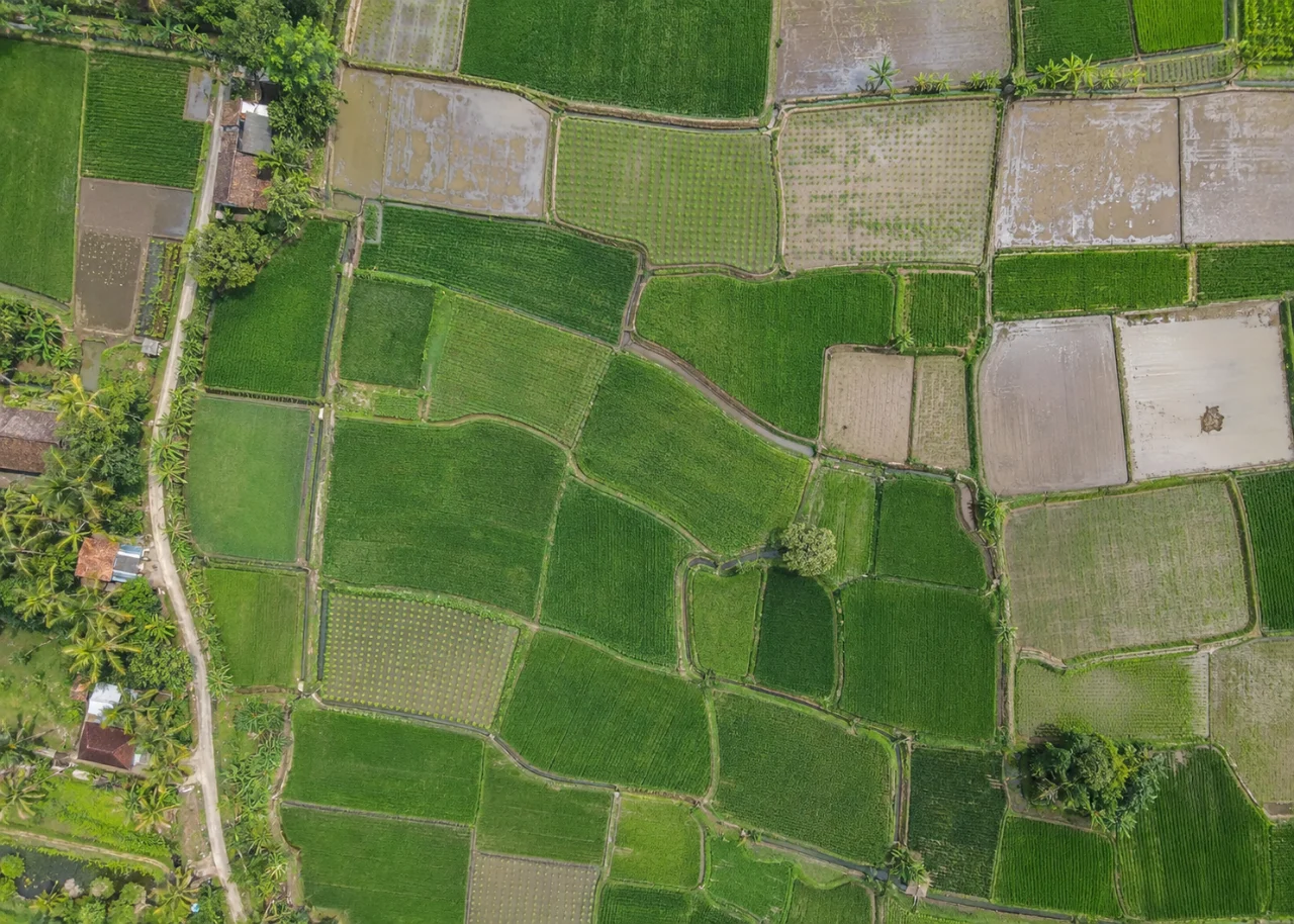
Use management blocks and planting cohorts as the primary units. Row continuity, canopy gaps and lodged patches can support scouting, but the observation changes as leaves close over the inter-row space. Preserve hybrid, sowing date and recent operations where available. A crop-only mask should exclude tracks, turning zones and drainage infrastructure from vegetation summaries.
Define the decision before choosing a processing configuration. State the target object, the observable surface, the required geographic reference and the evidence needed by the receiving user. Separate direct observations from inferred values. This prevents an attractive image from becoming an unsupported claim about conditions that the sensor did not observe. Preserve the project question in the run record so later quality review evaluates the intended use rather than a convenient software statistic.
The technical mechanism
Reflectance-oriented workflows attempt to account for sensor response and illumination so spectral observations can be compared meaningfully. Calibration panels, light sensors and metadata provide evidence, but each has limitations. A brighter-looking mosaic is not automatically calibrated reflectance. The acquisition and processing record must describe what correction was actually supported.
Site conditions that can mislead interpretation
A late-emerging block can appear weaker than an older block without sharing the same cause. Wind changes leaf orientation, and soil between rows affects visible color and spectral mixtures. Lodging can resemble vehicle disturbance. A stitched image may combine observations made under changing light, so review the original photographs before interpreting abrupt boundaries as field processes.
Calibration reduces specific sources of variation but does not identify a biological cause. A corrected spectral value still needs suitable ground interpretation and uncertainty context.
Prepare the inputs and the controlled test
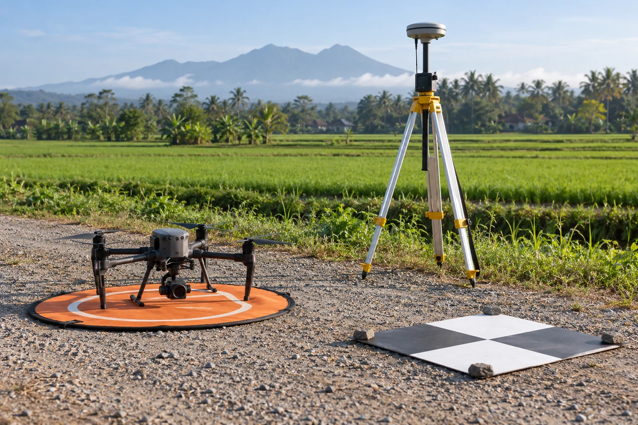
Retain panel images, sensor settings and illumination records where available. Review panel cleanliness, exposure and observation geometry. Use the documented sensor workflow and preserve intermediate data needed to audit the correction. Compare equivalent target areas rather than assuming all between-flight differences are removed by one normalization step.
Build the comparison around a preserved baseline. Use the same input inventory, geographic extent and independent reference observations whenever the experiment permits. Change one justified factor at a time and record any unavoidable difference. Select both a difficult inspection region and a stable control region before examining the candidate output. Compare on their common valid support, then report any gain or loss of total coverage separately. This distinguishes a local improvement from a result that merely excludes the hardest observations.
Independent verification in this setting
Visit candidate gaps, dense comparison rows and uncertain edges. Count occupied planting positions using a documented local method and record growth stage. Where lodging is suspected, observe stem orientation from ground level. Match observations to image acquisition time and preserve the distinction between a scouting flag and a verified diagnosis.
Inspect stable reference targets and relevant field observations. Check saturation, shadow and inconsistent illumination through the mission. Compare source bands and derived products at representative locations. Report calibration limitations alongside any temporal or between-block comparison.
A linked check: Training and Validation Separation
A classification must be evaluated on observations independent from those used to develop it. Nearby pixels or fragments of the same object can share texture and context, so a random pixel split may exaggerate generalization. The intended use determines whether validation should separate objects, blocks, dates or sites.
Define the target classes and the unit of independent evaluation before selecting samples. Preserve identifiers linking labels to their source evidence. Separate development and evaluation locations at a meaningful spatial or operational level. Include difficult boundaries, rare classes and ordinary negatives rather than constructing an artificially easy test set.
Report class-specific errors and the population represented by the sample. Inspect both false alarms and missed targets. Keep the validation labels fixed while comparing candidates. If the model is revised after examining the test, retain another suitable independent assessment for the resulting claim.
An illustrative decision example
Imagine an illustrative classification that identifies unusual patches successfully in the clear interior of a site but performs poorly in shadow and mixed boundaries. A test restricted to the easiest interior examples will overstate its usefulness for operational inspection. Evaluate the relevant observation conditions separately and include ordinary unflagged areas so missed targets can be investigated. Where a spectral or thermal contrast is involved, preserve the calibration and environmental context before assigning a cause. A field visit may show that similar image patterns have different explanations. Keep the observation, candidate interpretation and verified finding as separate records. This example supplies no accuracy percentage or measured site result. It shows why a useful remote-sensing product needs an independently defined target, representative evaluation and a clear uncertainty class rather than a complete-looking map that assigns every pixel an unjustified confident label.
Interpret uncertainty before accepting the result
Write the acceptance rule before selecting the most attractive output. The actual threshold must follow the project purpose and the quality of the independent evidence. Inspect signed differences and spatial patterns as well as summaries. Investigate consequential outliers using their source observations instead of deleting them to improve a score. A result can be suitable for inspection planning while remaining unsuitable for a more demanding engineering or quantitative claim. State that intended-use boundary explicitly.
Deliver evidence that the next team can use
Release block-level coverage and an inspection layer rather than a blanket prescription. Describe whether the map represents establishment, canopy condition or visible lodging. Any treatment or yield interpretation requires crop-stage context and independent agronomic assessment.
Keep the accepted source dates, processing version, coordinate conventions, masks and reference evidence beside the delivered data. Reopen a representative output from a clean copy and confirm that the intended receiving application interprets it consistently. Identify any remaining unsupported areas and the additional observation that would resolve them. The next analyst should be able to reconstruct the decision without depending on a temporary browser session, an operator recollection or a file whose name merely says final.
Where a cloud workflow can help
Drone Mapping Software can simplify the transfer from an organized image collection to a shared review workflow, but it does not remove acquisition or validation responsibilities. Drone Collab can be considered as part of that workflow after the team checks the current published capabilities and the outputs required by the project. Start with a representative collection and evaluate the evidence, usability and handover together. Choose the workflow because it supports a defensible decision rather than because one preview looks particularly polished.