The site decision and observation unit
This guide examines web map overview design when a mapping team needs to support compartment-level forest observations with explicit canopy limits. The goal is to connect a specific technical choice to observable site evidence, an independently checkable comparison and a clear delivery decision.
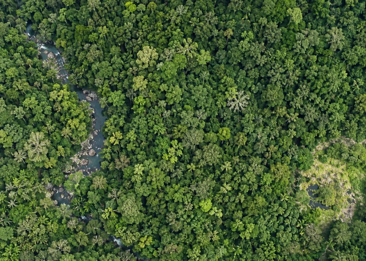
Define compartments, canopy gaps, access routes and any sampled trees as distinct objects. Optical drone imagery usually observes upper canopy and exposed ground rather than the complete vertical forest structure. Join compartment history and observation dates before comparison. A canopy opening can be relevant to monitoring without revealing the cause of the opening.
Define the decision before choosing a processing configuration. State the target object, the observable surface, the required geographic reference and the evidence needed by the receiving user. Separate direct observations from inferred values. This prevents an attractive image from becoming an unsupported claim about conditions that the sensor did not observe. Preserve the project question in the run record so later quality review evaluates the intended use rather than a convenient software statistic.
The technical mechanism
Web map overviews reduce detail for navigation and display at smaller scales. Their rendering choices can change apparent sharpness, color and class boundaries. A fast preview is a communication product, while the analytical raster may preserve different numeric information. Users need a clear path from an attractive overview to the accepted source data.
Site conditions that can mislead interpretation
Wind moves crowns, seasonal leaf changes alter appearance and dense canopy obscures terrain. A surface reconstructed across treetops is not a bare-earth elevation model. Shadow can resemble an opening, and neighboring crowns can hide small disturbances. Apparent change should be assessed within common observable coverage and a compatible seasonal context.
A crisp web layer can be a resampled visualization. Measurements and classifications should use the appropriate analytical data and reference definitions.
Prepare the inputs and the controlled test
Define which layers are previews and which are authoritative analytical products. Choose overview resampling consistent with data meaning. Test labels, masks and scale transitions in the intended viewer. Preserve source date and resolution context so a small-screen display does not imply detail unavailable at that scale.
Build the comparison around a preserved baseline. Use the same input inventory, geographic extent and independent reference observations whenever the experiment permits. Change one justified factor at a time and record any unavoidable difference. Select both a difficult inspection region and a stable control region before examining the candidate output. Compare on their common valid support, then report any gain or loss of total coverage separately. This distinguishes a local improvement from a result that merely excludes the hardest observations.
Independent verification in this setting
Check representative openings and intact comparison areas using a suitable field protocol. Record canopy status, recent operations and positional uncertainty. Ground plots or independent height observations are needed for structural quantities that cannot be seen directly. Preserve links between compartment records, field evidence and the actual image survey.
Compare representative features at multiple zoom levels and inspect the source values separately. Check whether transparency or missing data are rendered misleadingly. Verify that download links and metadata refer to the accepted version. Review usability on both wide and narrow screens without conflating display quality with survey validation.
A linked check: Raster Resampling Choices
Resampling estimates values on a different grid. Nearest-neighbor selection, interpolation and aggregation serve different data meanings. A method suitable for continuous elevation may be unsuitable for categorical classes. The target grid alignment and cell size influence which observations contribute, so a conversion must preserve both the geographic reference and the semantic meaning.
Identify whether values represent continuous measurements, class identifiers, counts or densities. Choose a documented method appropriate to that meaning. Test a small extract with recognizable boundaries and known values. Preserve the original raster, target grid definition and validity mask so changes can be traced to the resampling operation.
Compare selected values, class integrity and boundary behavior on common support. Review statistics using the correct units and denominator. Inspect for a half-cell displacement or unexpected smoothing. Confirm the receiving application reads the intended reference and numeric type.
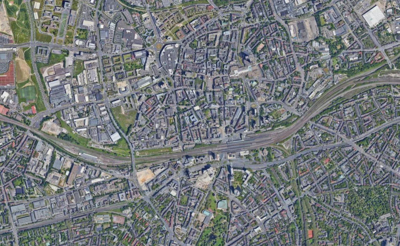
An illustrative decision example
Consider an illustrative management polygon that overlaps several raster cells, with part of its area outside the valid observation mask. A summary computed only from valid cells can be useful, but it does not describe the entire polygon unless the missing portion is addressed appropriately. Report the coverage denominator with the statistic. If a later conversion changes the missing area to zero, the same polygon may acquire a different mean even though none of the observed values changed. Inspect selected cells, grid alignment and validity behavior through the actual export path. For a categorical raster, check class counts rather than averaging arbitrary class identifiers. This hypothetical comparison demonstrates why a successful file conversion and a plausible table are insufficient evidence of analytical equivalence. Preserve the source and receiving definitions so another analyst can explain whether a difference arose from a physical observation, a grid choice or a changed interpretation of missing data.
Interpret uncertainty before accepting the result
Write the acceptance rule before selecting the most attractive output. The actual threshold must follow the project purpose and the quality of the independent evidence. Inspect signed differences and spatial patterns as well as summaries. Investigate consequential outliers using their source observations instead of deleting them to improve a score. A result can be suitable for inspection planning while remaining unsuitable for a more demanding engineering or quantitative claim. State that intended-use boundary explicitly.
Deliver evidence that the next team can use
Release compartment summaries with valid area, visible changes and uncertain margins. Keep biomass, species and legal-status claims separate unless supported by suitable independent methods. Aerial mapping provides spatial evidence for investigation and monitoring, not a complete forest inventory by itself.
Keep the accepted source dates, processing version, coordinate conventions, masks and reference evidence beside the delivered data. Reopen a representative output from a clean copy and confirm that the intended receiving application interprets it consistently. Identify any remaining unsupported areas and the additional observation that would resolve them. The next analyst should be able to reconstruct the decision without depending on a temporary browser session, an operator recollection or a file whose name merely says final.
Where a cloud workflow can help
Online Photogrammetry Software can simplify the transfer from an organized image collection to a shared review workflow, but it does not remove acquisition or validation responsibilities. Drone Collab can be considered as part of that workflow after the team checks the current published capabilities and the outputs required by the project. Start with a representative collection and evaluate the evidence, usability and handover together. Choose the workflow because it supports a defensible decision rather than because one preview looks particularly polished.