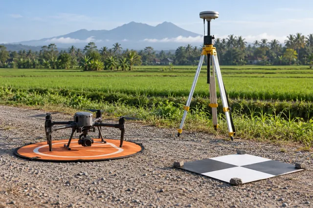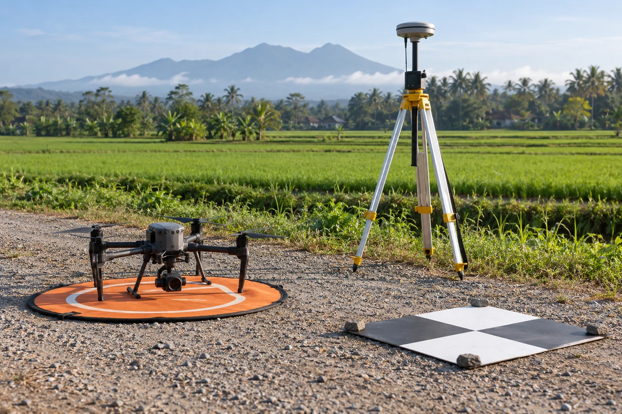
The site decision and observation unit
This guide examines ppk event timing when a mapping team needs to maintain a traceable estate inspection and crown-inventory register. The goal is to connect a specific technical choice to observable site evidence, an independently checkable comparison and a clear delivery decision.
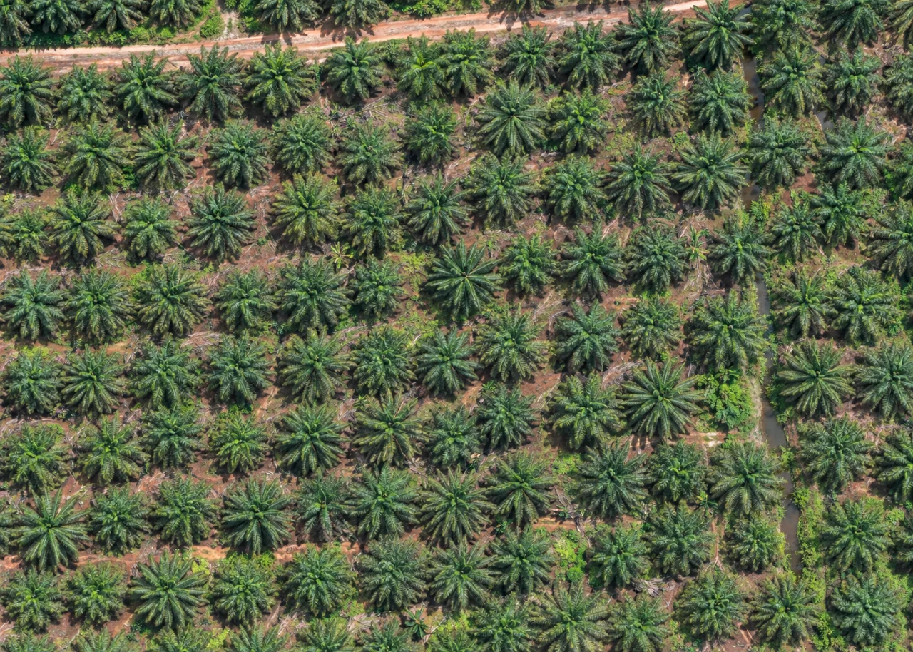
A visible crown, a planting station and a productive palm are different inventory objects. Organize observations by estate block, planting year and row direction. Drains, conservation strips and access corridors explain legitimate gaps in a planting pattern. Assign persistent identifiers so later observations can distinguish a replacement palm from a changed interpretation of an existing crown.
Define the decision before choosing a processing configuration. State the target object, the observable surface, the required geographic reference and the evidence needed by the receiving user. Separate direct observations from inferred values. This prevents an attractive image from becoming an unsupported claim about conditions that the sensor did not observe. Preserve the project question in the run record so later quality review evaluates the intended use rather than a convenient software statistic.
The technical mechanism
PPK processing relates recorded navigation observations to image exposure events. A time mismatch can shift the assigned camera location in the direction of travel. The effect depends on actual movement and the event convention. Timestamp labels from different devices may refer to different clock systems or different parts of the exposure process.
Site conditions that can mislead interpretation
Mature crowns overlap, young replacements disappear into ground vegetation, and pruning changes apparent crown size. Shadow and foliage movement can alter local texture between passes. A pale crown is an observation requiring investigation rather than an aerial disease diagnosis. Canopy geometry should not be presented as measured terrain beneath closed palm cover.
A fitted timing offset can mask another systematic problem. Navigation quality, event identity and antenna-to-camera geometry require their own checks before interpreting a better fit.
Prepare the inputs and the controlled test
Preserve original event logs, navigation data and camera timestamps. Establish the clock convention and any documented offsets before merging records. Review sequence continuity and missing events. Test a defensible timing interpretation on a representative dataset while keeping other positioning and calibration assumptions fixed.
Build the comparison around a preserved baseline. Use the same input inventory, geographic extent and independent reference observations whenever the experiment permits. Change one justified factor at a time and record any unavoidable difference. Select both a difficult inspection region and a stable control region before examining the candidate output. Compare on their common valid support, then report any gain or loss of total coverage separately. This distinguishes a local improvement from a result that merely excludes the hardest observations.
Independent verification in this setting
Inspect matched planting stations and exceptions, including apparently normal comparison palms. Record young replacements, multiple stems, recent pruning and intentional vacant areas. Match each field photograph to a block and crown identifier. Check access and drainage observations with estate personnel, since a visible track may not be trafficable and a dark channel does not reveal its invert level.
Compare image-event alignment, flight-direction patterns and independent checkpoint behavior. Inspect whether a proposed offset is supported by device evidence rather than selected only to minimize one residual. Record the accepted timing convention and the raw files needed to reproduce it.
A linked check: Vertical Datum Consistency
Vertical coordinates can describe ellipsoidal height, gravity-related height or another local convention. A surface and design can align horizontally while differing vertically because their references are incompatible. The relationship may vary spatially. Naming a datum in a report is insufficient if the actual transformation, geoid model or local reference used by the files is unclear.
Inventory vertical conventions for control, camera positions, design and surfaces. Preserve the relevant model and transformation evidence. Check known elevations at representative locations. Keep original and transformed values separate and identify where any correction was applied. Avoid assuming that a generic elevation field already represents the required project height.
Inspect signed vertical residuals and their spatial pattern. Compare candidate surfaces on common support after the reference interpretation is established. Reopen delivered files in the receiving workflow and verify that the metadata and numeric values agree with the documented convention.
An illustrative decision example
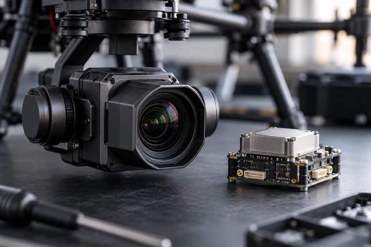
Consider a hypothetical image block whose camera positions agree closely with a reference solution but whose withheld checkpoints show a consistent directional displacement. Several explanations remain possible, including reference conventions, event timing, target identification and antenna-to-camera geometry. Tightening all camera-position weights before investigating the pattern may force the reconstruction to follow the same systematic error more strongly. Preserve the baseline, inspect the relevant raw records and test one defensible interpretation at a time. Use the same independent points to compare candidates and retain their reference uncertainty. If a correction improves one region while worsening another, investigate the spatial pattern rather than choosing only the lower overall average. This example shows the structure of a diagnostic argument; it is not a measured result or an accuracy promise. A defensible conclusion identifies the supported correction, its application stage and the evidence that remains independent from the adjustment.
Interpret uncertainty before accepting the result
Write the acceptance rule before selecting the most attractive output. The actual threshold must follow the project purpose and the quality of the independent evidence. Inspect signed differences and spatial patterns as well as summaries. Investigate consequential outliers using their source observations instead of deleting them to improve a score. A result can be suitable for inspection planning while remaining unsuitable for a more demanding engineering or quantitative claim. State that intended-use boundary explicitly.
Deliver evidence that the next team can use
Provide a dated crown or access register with confirmed, uncertain and unobservable records. Separate the imagery observation from productive status and field diagnosis. Operations teams can then resolve exceptions without treating every aerial detection as an equivalent producing palm.
Keep the accepted source dates, processing version, coordinate conventions, masks and reference evidence beside the delivered data. Reopen a representative output from a clean copy and confirm that the intended receiving application interprets it consistently. Identify any remaining unsupported areas and the additional observation that would resolve them. The next analyst should be able to reconstruct the decision without depending on a temporary browser session, an operator recollection or a file whose name merely says final.
Where a cloud workflow can help
Orthomosaic Mapping Software can simplify the transfer from an organized image collection to a shared review workflow, but it does not remove acquisition or validation responsibilities. Drone Collab can be considered as part of that workflow after the team checks the current published capabilities and the outputs required by the project. Start with a representative collection and evaluate the evidence, usability and handover together. Choose the workflow because it supports a defensible decision rather than because one preview looks particularly polished.