THE DRONE COLLAB JOURNAL

Better drone maps start with better decisions.

Explore practical photogrammetry, GNSS, IMU, GIS and remote sensing methods. Technical explanations, worked examples and field checks for the people turning aerial photographs into usable maps.

1554 articles13 topics
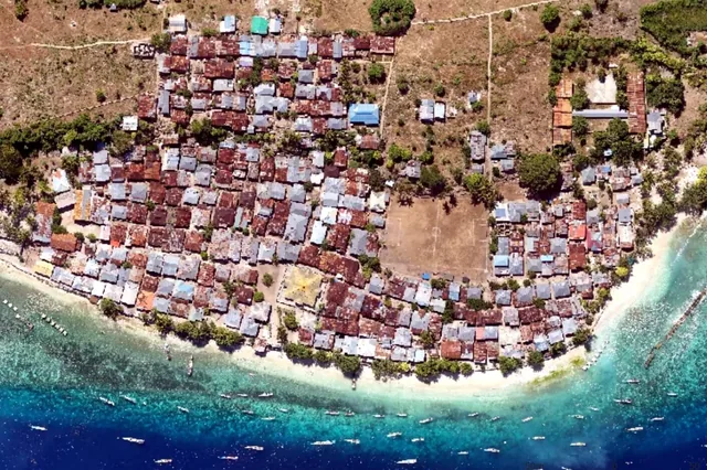
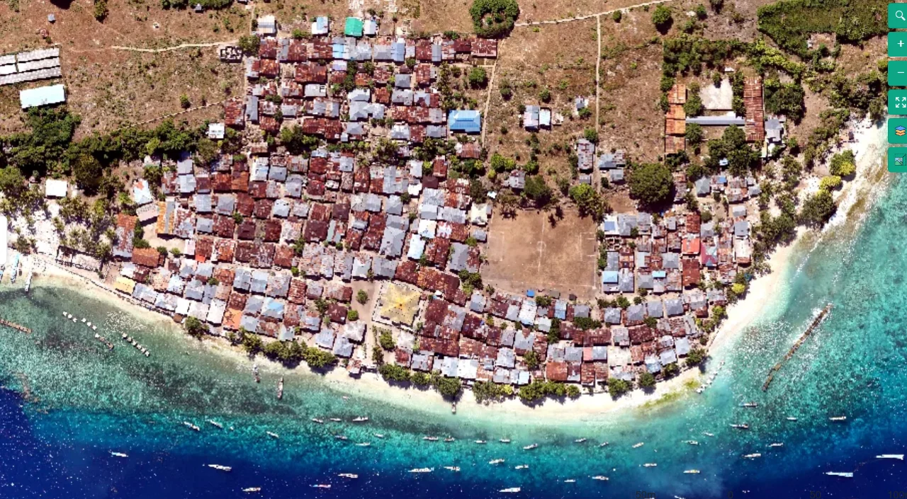
Coastal mapping area viewed from above
Flight planning

Terrain-Following Capture for Coastal Settlement Corridors

Read article ↗

All articles

IMU & GNSS

PPK Event Timing for Vineyard Rows

A practical guide to ppk event timing for vineyard rows, covering input checks, site-specific uncertainty, a reproducible processing comparison and a defensible handover.