The site decision and observation unit
This guide examines mission boundary coverage when a mapping team needs to map observable wetland patterns without implying measured water depth. The goal is to connect a specific technical choice to observable site evidence, an independently checkable comparison and a clear delivery decision.
Separate open water, emergent vegetation, exposed soil and inaccessible margins. Water level and recent rainfall influence which surface is visible. Use wetland management units and observation dates to organize comparisons. A plan-view boundary represents a defined visible condition at that time rather than an immutable ecological or legal limit.
Define the decision before choosing a processing configuration. State the target object, the observable surface, the required geographic reference and the evidence needed by the receiving user. Separate direct observations from inferred values. This prevents an attractive image from becoming an unsupported claim about conditions that the sensor did not observe. Preserve the project question in the run record so later quality review evaluates the intended use rather than a convenient software statistic.
The technical mechanism
A delivery boundary and an acquisition boundary serve different purposes. Features near the edge of a reconstruction often have fewer viewing directions and weaker support than the interior. Camera footprints intersecting a polygon do not guarantee adequate observations of every target inside it. The required margin depends on scene geometry, visibility and the actual product.
Site conditions that can mislead interpretation
Vegetation hides channels, dark water resembles shadow and floating plants change position. Surface reconstruction over open water can be sparse or misleading. A visually smooth elevation product may interpolate across areas with little direct support. Water extent and bathymetry must remain different information products.
Clipping removes visible artifacts but does not repair missing geometry. An edge pixel may be stored successfully while still having limited observational support.
Prepare the inputs and the controlled test
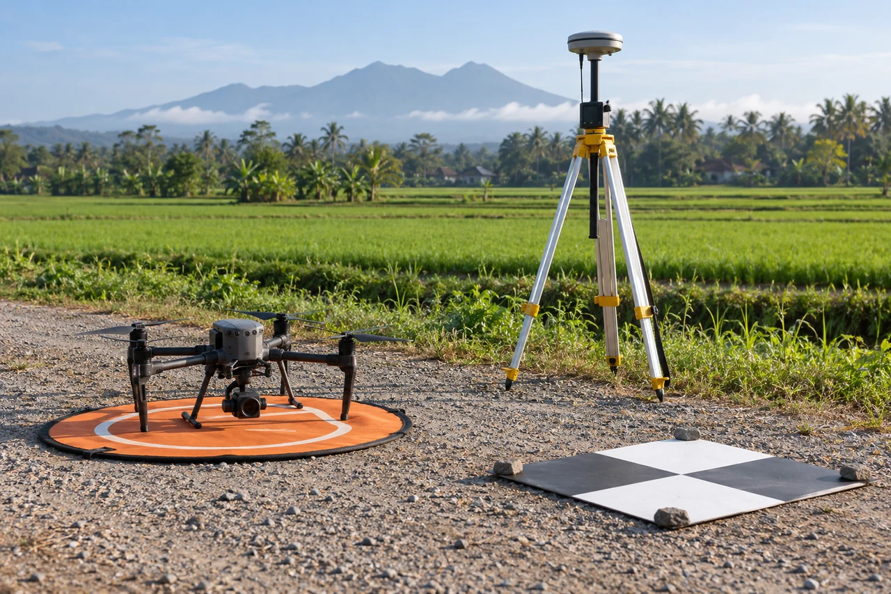
Map critical edge features and review how many useful views observe them from inside the recorded block. Inspect line ends, turns and outside-facing surfaces. Design an appropriate capture margin within applicable operating constraints. Preserve the intended boundary and the observed coverage mask so clipping does not conceal where support was originally weak.
Build the comparison around a preserved baseline. Use the same input inventory, geographic extent and independent reference observations whenever the experiment permits. Change one justified factor at a time and record any unavoidable difference. Select both a difficult inspection region and a stable control region before examining the candidate output. Compare on their common valid support, then report any gain or loss of total coverage separately. This distinguishes a local improvement from a result that merely excludes the hardest observations.
Independent verification in this setting
Verify representative boundary segments and vegetation classes using suitable field methods. Record water level or a repeatable local reference when comparing dates. Inspect uncertain transitions as well as obvious classes. Where water depth or bed elevation matters, collect an independent measurement appropriate to that purpose.
Inspect edge completeness, local geometric behavior and independent checks near the margin. Compare the usable delivery area before and after any added capture. Record unsupported exclusions explicitly. A neat crop boundary should be the final presentation of valid observations rather than a method for hiding weak reconstruction.
A linked check: Independent Checkpoint Design
Independent checkpoints evaluate geometry without participating in the adjustment being tested. Their reference quality, distribution and feature identification affect the result. Points used as control cannot simultaneously provide an independent accuracy assessment of that same adjustment. A useful design covers the conditions relevant to the delivered product rather than clustering checks on the easiest accessible surface.
Define the intended horizontal and vertical checks before processing. Separate control and checkpoint identifiers and preserve their observation methods. Choose visible stable targets distributed across meaningful terrain and acquisition conditions. Document reference uncertainty and any target-identification limitations. Keep withheld points withheld during the comparison.
Inspect signed residuals, spatial patterns and outliers with their evidence. Investigate mistaken identification or changed targets rather than removing inconvenient points automatically. Compare candidates on the same independent set and report exclusions with reasons. Present the reference method so the residuals are not interpreted more precisely than the check observations allow.
An illustrative decision example
Consider an illustrative pilot mission with a nominal image footprint one hundred metres wide. If the distance to the visible surface falls by one fifth while the camera remains unchanged, the footprint also becomes approximately one fifth narrower under the same projection assumptions. A line spacing that worked above lower ground can therefore leave less shared surface over a taller canopy or structure. The practical response is to inspect the limiting part of the site and revise the actual capture geometry, not simply to copy the overlap percentage from an earlier mission. Keep the example separate from an operational flight instruction: the real plan also depends on the aircraft, target visibility and applicable site constraints. After a revised pilot, compare sharp target detail and connection across neighboring views. Accept the plan only when the recorded observations support the intended product. The calculation explains sensitivity to camera distance; it does not predict positional accuracy or guarantee that an obscured target becomes visible.
Interpret uncertainty before accepting the result
Write the acceptance rule before selecting the most attractive output. The actual threshold must follow the project purpose and the quality of the independent evidence. Inspect signed differences and spatial patterns as well as summaries. Investigate consequential outliers using their source observations instead of deleting them to improve a score. A result can be suitable for inspection planning while remaining unsuitable for a more demanding engineering or quantitative claim. State that intended-use boundary explicitly.
Deliver evidence that the next team can use
Provide class definitions, uncertain transitions and the observation conditions. Keep inferred hydrological connections distinct from directly observed channels. The handover should support inspection and temporal comparison without presenting hidden wetland structure as fully measured.
Keep the accepted source dates, processing version, coordinate conventions, masks and reference evidence beside the delivered data. Reopen a representative output from a clean copy and confirm that the intended receiving application interprets it consistently. Identify any remaining unsupported areas and the additional observation that would resolve them. The next analyst should be able to reconstruct the decision without depending on a temporary browser session, an operator recollection or a file whose name merely says final.
Where a cloud workflow can help
Orthomosaic Mapping Software can simplify the transfer from an organized image collection to a shared review workflow, but it does not remove acquisition or validation responsibilities. Drone Collab can be considered as part of that workflow after the team checks the current published capabilities and the outputs required by the project. Start with a representative collection and evaluate the evidence, usability and handover together. Choose the workflow because it supports a defensible decision rather than because one preview looks particularly polished.