Start with the operational question
Riverbank monitoring must distinguish the bank top, bank toe, vegetation margin and instantaneous waterline. These features can move independently as stage changes. A drone survey can document exposed bank geometry and nearby land cover, with a clear reference definition making repeat comparisons more useful.
The working question is: Does an apparent bank shift reflect bank erosion or a changing water edge? Define riverbank change reaches before the survey begins and identify who will review them. Agree what evidence would change an inspection, sampling or management decision. This keeps the map tied to a testable task and makes it possible to distinguish a useful observation from an attractive output that cannot resolve the question.
Understand what the image actually observes
Higher water can hide the bank toe without any erosion. Vegetation overhang can mask an undercut bank, while deposition can move the waterline outward. An image-based line needs both positional and environmental context.
For riverbank change reaches, the measurement definition is part of the result. Define the observed proxy and its geographic support before drawing precise boundaries. A water edge, vegetation margin, exposed bed and ecological habitat boundary are different objects. Separate visible absence from inability to observe, particularly under water or canopy. Keep survey footprints and unknown regions visible when calculating area or change. A surface map does not establish water depth, hidden sediment, species identity or long-term process by itself. Comparison methods should account for changing water levels, seasonal conditions and the fact that different surveys may not observe the same physical surface.
Design capture around the target and its confounders
Capture planning for riverbank change reaches should begin with the intended comparison. Choose the observation window around the coastal process and the intended visible target. Record time, relevant tide or water-level context, recent weather and any important event history. Water movement, glint and turbidity can limit both image matching and interpretation, while vegetation can hide the ground or bank. Include stable reference where repeat geometry will be compared. Plan complementary field or water-based measurements if the question depends on submerged surfaces, ecological identity or continuous inundation. A drone snapshot samples a dynamic environment and should retain the environmental context needed to interpret it.
Build a traceable processing and analysis workflow
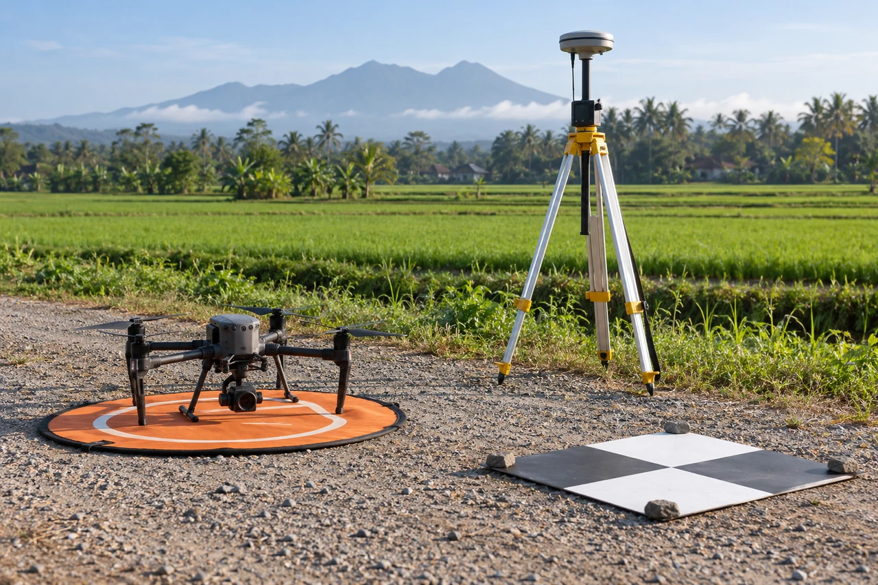
Segment the river into comparable reaches, define the bank feature and record stage information where available. Review original frames for undercut or obscured sections. Compare like references across dates and preserve uncertain reaches. Use cross-sections or suitable three-dimensional comparisons where the data support them.
Quality review for riverbank change reaches must continue after processing completes. Inspect shore edges, reflective water and sparse vegetation in original frames. Verify that an apparent line or patch is a real observation rather than a seam or interpolated region. For repeat surveys, align stable references and compare compatible proxies within a supported common footprint. Preserve excluded or submerged areas instead of assigning them zero change. If numeric surface differences are integrated into quantities, evaluate systematic bias and local support first. Keep geometric observations distinct from ecological or hydrodynamic interpretations that depend on additional measurements.
Work through an illustrative example
An illustrative water edge moves 3 meters toward the channel between surveys while the bank top remains fixed. This may reflect lower stage rather than bank accretion. Conversely, a retreating bank top with similar stage supports a different investigation.
This example for riverbank change reaches is deliberately illustrative, not a reported outcome or an accuracy promise. Replace its assumptions with the project’s measured values before using the reasoning operationally. Keep the numerator, denominator, observation date and exclusions visible. If a plausible boundary, visibility or reference change alters the decision, collect the missing evidence or retain the case as unresolved rather than reporting extra decimal places.
Validate with independent field evidence
Survey selected bank references independently and record bank material, vegetation and recent flow conditions. Inspect both apparent changes and stable reaches. Use appropriate safe field methods near eroding banks.
An evaluation of riverbank change reaches should include both flagged targets and suitable unflagged reference locations. Checking only the most obvious candidates can estimate neither the missed targets nor the full false-alarm pattern. Separate observations used to adjust the method from those used to evaluate it. Keep the sampling unit and selection method explicit, and report difficult or unobservable cases rather than dropping them silently. When field timing differs from image timing, explain whether the site could have changed between visits. A disagreement is evidence to investigate, not an instruction to force the ground record to match the map.
Resolve the topic-specific interpretation risks
Riverbank datasets should record stage or the best available stage context with every survey. A reference line that follows vegetation may remain stable while the exposed bank below changes, so choose the line according to the study question. If a bank section is hidden by water or canopy, preserve that limitation. Compare reach-level patterns and independently measured sections rather than interpreting every narrow difference strip as erosion. This helps separate actual bank retreat from water-level variation, changing visibility and local alignment effects.
Hand over evidence that the receiving team can use
Deliver reach-level observed changes with stage and proxy notes. Erosion-rate or management conclusions should follow a method that accounts for the chosen reference and the comparison interval.
For the riverbank change reaches handover, retain stable identifiers, the source observation date, the coordinate reference, the analysis boundary and the valid-observation status. Supply both an accessible overview and the relevant geospatial data where needed. Attach a short exception register that explains unresolved features and the next useful check. If the data are revised, preserve the reason and version so quantities or statuses can be traced. Ask the receiving team to locate a sample item and interpret its confidence; that practical review often reveals missing context that a file-integrity check cannot detect.
When evaluating Drone Mapping Software for riverbank change reaches, assess the complete workflow with a representative dataset. DroneCollab can be considered for preparing photogrammetric mapping outputs, while task-specific interpretation and field validation remain essential. Compare the required exports, review process and actual pilot evidence before selecting a workflow for recurring work.