The site decision and observation unit
This guide examines ground control distribution when a mapping team needs to identify vineyard row segments requiring closer inspection. The goal is to connect a specific technical choice to observable site evidence, an independently checkable comparison and a clear delivery decision.
Treat rows and vine positions as separate spatial objects. Row spacing, trellis orientation and missing positions shape what can be observed from above. Match the map to block identifiers and the current training system. Canopy width can describe visible structure, but the same width may result from different pruning, growth or management conditions.
Define the decision before choosing a processing configuration. State the target object, the observable surface, the required geographic reference and the evidence needed by the receiving user. Separate direct observations from inferred values. This prevents an attractive image from becoming an unsupported claim about conditions that the sensor did not observe. Preserve the project question in the run record so later quality review evaluates the intended use rather than a convenient software statistic.
The technical mechanism
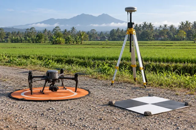
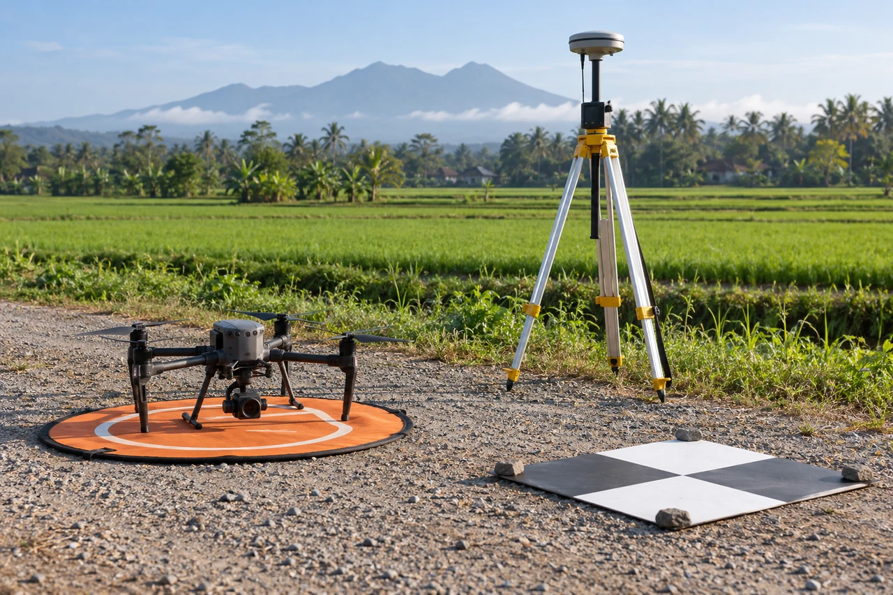
Ground control anchors the reconstruction to reference observations. Its geometric distribution influences how different parts of the block are constrained. Many points concentrated in one convenient corner do not provide the same support as a design that represents the project extent and relevant relief. Target visibility and reference uncertainty also matter alongside the number of points.
Site conditions that can mislead interpretation
Trellis shadows, inter-row cover and viewing direction can dominate apparent canopy differences. A single plan view may hide gaps beneath neighboring shoots. Oblique photographs may improve visibility but introduce different occlusion patterns. Changes in trimming between missions are operational events and should not be interpreted as unexplained canopy loss.
Adding control does not automatically correct a wrong datum or inconsistent target identification. The quality of the reference observations remains part of the uncertainty budget.
Prepare the inputs and the controlled test
Plan control around the block geometry, terrain and the intended product. Preserve coordinate conventions and observation metadata. Check that targets are identifiable in useful photographs and not moved or obscured. Keep separate independent checkpoints for evaluation. If comparing designs, use a controlled subset and retain the same validation evidence.
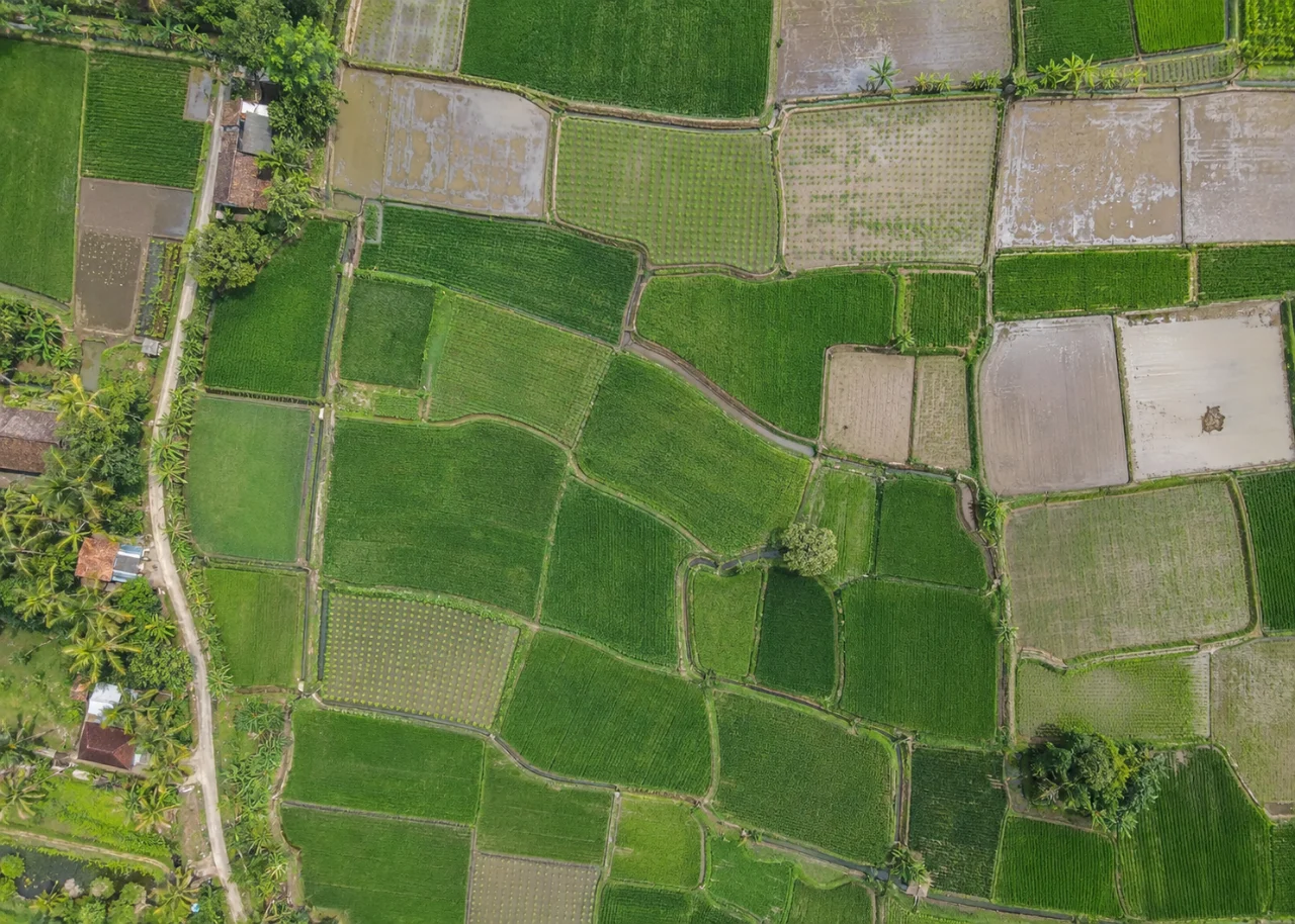
Build the comparison around a preserved baseline. Use the same input inventory, geographic extent and independent reference observations whenever the experiment permits. Change one justified factor at a time and record any unavoidable difference. Select both a difficult inspection region and a stable control region before examining the candidate output. Compare on their common valid support, then report any gain or loss of total coverage separately. This distinguishes a local improvement from a result that merely excludes the hardest observations.
Independent verification in this setting
Walk selected row segments, record missing vines and note training or trimming history. Use row-and-position identifiers that can be matched without interpreting a vague GPS point among similar plants. Include healthy comparison segments and difficult shadowed locations. Ground observations should establish the condition being mapped rather than merely confirm that the aerial texture looks unusual.
Review residual patterns and independent behavior near edges, interior regions and changes in relief. Inspect whether a control point is pulling the model because its coordinate or image identification is inconsistent. Record both the accepted distribution and any missing planned targets.
A linked check: Vertical Datum Consistency
Vertical coordinates can describe ellipsoidal height, gravity-related height or another local convention. A surface and design can align horizontally while differing vertically because their references are incompatible. The relationship may vary spatially. Naming a datum in a report is insufficient if the actual transformation, geoid model or local reference used by the files is unclear.
Inventory vertical conventions for control, camera positions, design and surfaces. Preserve the relevant model and transformation evidence. Check known elevations at representative locations. Keep original and transformed values separate and identify where any correction was applied. Avoid assuming that a generic elevation field already represents the required project height.
Inspect signed vertical residuals and their spatial pattern. Compare candidate surfaces on common support after the reference interpretation is established. Reopen delivered files in the receiving workflow and verify that the metadata and numeric values agree with the documented convention.
An illustrative decision example
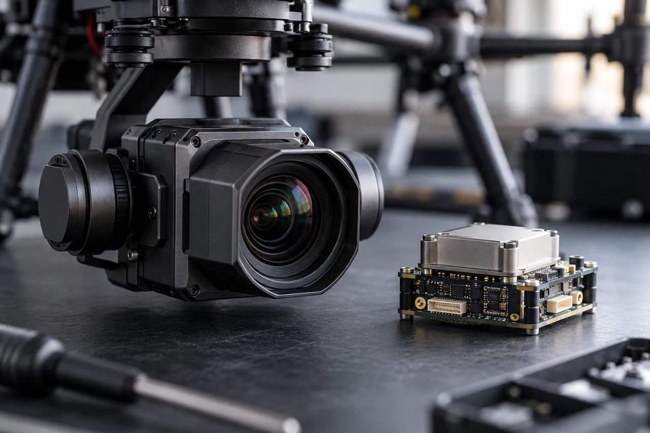
Consider a hypothetical image block whose camera positions agree closely with a reference solution but whose withheld checkpoints show a consistent directional displacement. Several explanations remain possible, including reference conventions, event timing, target identification and antenna-to-camera geometry. Tightening all camera-position weights before investigating the pattern may force the reconstruction to follow the same systematic error more strongly. Preserve the baseline, inspect the relevant raw records and test one defensible interpretation at a time. Use the same independent points to compare candidates and retain their reference uncertainty. If a correction improves one region while worsening another, investigate the spatial pattern rather than choosing only the lower overall average. This example shows the structure of a diagnostic argument; it is not a measured result or an accuracy promise. A defensible conclusion identifies the supported correction, its application stage and the evidence that remains independent from the adjustment.
Interpret uncertainty before accepting the result
Write the acceptance rule before selecting the most attractive output. The actual threshold must follow the project purpose and the quality of the independent evidence. Inspect signed differences and spatial patterns as well as summaries. Investigate consequential outliers using their source observations instead of deleting them to improve a score. A result can be suitable for inspection planning while remaining unsuitable for a more demanding engineering or quantitative claim. State that intended-use boundary explicitly.
Deliver evidence that the next team can use
Provide row segments, visible canopy measurements and an exception list with uncertainty. Keep disease and productivity conclusions in the field record. The imagery becomes a consistent reference for inspection and follow-up rather than an automatic diagnosis of every vine.
Keep the accepted source dates, processing version, coordinate conventions, masks and reference evidence beside the delivered data. Reopen a representative output from a clean copy and confirm that the intended receiving application interprets it consistently. Identify any remaining unsupported areas and the additional observation that would resolve them. The next analyst should be able to reconstruct the decision without depending on a temporary browser session, an operator recollection or a file whose name merely says final.
Where a cloud workflow can help
Drone Image Processing Software can simplify the transfer from an organized image collection to a shared review workflow, but it does not remove acquisition or validation responsibilities. Drone Collab can be considered as part of that workflow after the team checks the current published capabilities and the outputs required by the project. Start with a representative collection and evaluate the evidence, usability and handover together. Choose the workflow because it supports a defensible decision rather than because one preview looks particularly polished.