Start with the operational question
Solar-site mapping can document clearing, grading, access routes, installed table footprints and retained vegetation. Stable zone identifiers allow comparison with the site plan and work records. The survey should report observable construction state rather than infer electrical readiness or energy performance.
The working question is: Which visible land-disturbance and access changes need construction or environmental review? Define solar-site construction zones before the survey begins and identify who will review them. Agree what evidence would change an inspection, sampling or management decision. This keeps the map tied to a testable task and makes it possible to distinguish a useful observation from an attractive output that cannot resolve the question.
Understand what the image actually observes
Reflective panels can produce poor image matching, while stacked components can resemble installed structures. Vegetation change can be seasonal, and visible equipment does not establish commissioning. A footprint map alone cannot assess erosion-control effectiveness.
For solar-site construction zones, the measurement definition is part of the result. Keep observed status, design intent and verified acceptance as separate attributes. A footprint can be visible without the work being complete, and a detailed surface can still answer the wrong quantity question. Define units and boundaries in terms the receiving team uses, with a clear source for every non-image attribute. Preserve unknown or obstructed work instead of inferring completion from neighboring areas. Where quantities support decisions, specify the surface, reference and exclusion rules. Where the task is operational, verify that mapped connections and identifiers correspond to usable ground realities.
Design capture around the target and its confounders
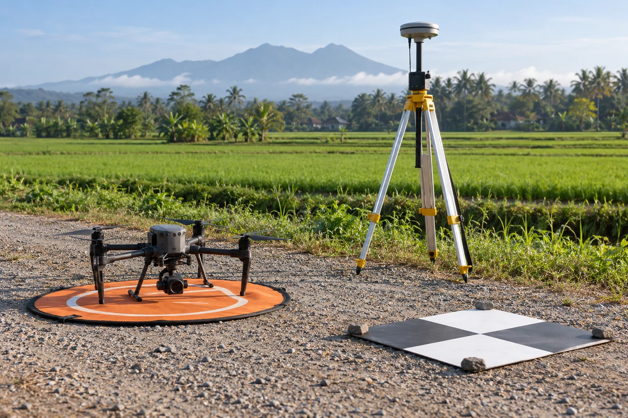
Capture planning for solar-site construction zones should begin with the intended comparison. Define the user task, required evidence and intended deliverables before capture or procurement. Match survey timing to actual operations and retain the relevant plan, asset or work-package identifiers. Include representative difficult areas and independent check measurements where geometry matters. Record temporary equipment, incomplete work and changes during capture. The objective is a usable evidence package that supports a specific review, rather than simply proving that a processing job can finish. Field observations, design information and acceptance records should be planned as complementary inputs rather than discovered only after the map is delivered.
Build a traceable processing and analysis workflow
Separate observed land cover, access and visible installation classes. Compare them with the current plan using compatible references. Flag uncertain panel areas and inspect drainage paths around disturbed ground. Join verified work records when interpreting construction stages, keeping visible state distinct from accepted or commissioned status.
Quality review for solar-site construction zones must continue after processing completes. Review deliverables against the intended user task as well as their visual appearance. Check coordinate references, plan versions, field identifiers and unsupported areas. Inspect source-to-output examples at difficult transitions, and verify that exported files open correctly in the receiving workflow. Preserve the inputs and assumptions needed to reproduce quantities or classifications. Keep revisions traceable when designs, boundaries or processing methods change. A successful handover includes exceptions and uncertainty, allowing the responsible team to distinguish observed evidence from a proposed interpretation or an official acceptance decision.
Work through an illustrative example
Suppose an illustrative zone contains panel tables over 80% of the planned footprint. That is a geometric observation, not an 80% completion or generation figure. Cabling, testing and other hidden tasks may remain.
This example for solar-site construction zones is deliberately illustrative, not a reported outcome or an accuracy promise. Replace its assumptions with the project’s measured values before using the reasoning operationally. Keep the numerator, denominator, observation date and exclusions visible. If a plausible boundary, visibility or reference change alters the decision, collect the missing evidence or retain the case as unresolved rather than reporting extra decimal places.
Validate with independent field evidence
Verify selected installed structures, access routes and disturbed areas with site staff. Inspect ground conditions and environmental controls independently. Use electrical or commissioning records for operational questions.
An evaluation of solar-site construction zones should include both flagged targets and suitable unflagged reference locations. Checking only the most obvious candidates can estimate neither the missed targets nor the full false-alarm pattern. Separate observations used to adjust the method from those used to evaluate it. Keep the sampling unit and selection method explicit, and report difficult or unobservable cases rather than dropping them silently. When field timing differs from image timing, explain whether the site could have changed between visits. A disagreement is evidence to investigate, not an instruction to force the ground record to match the map.
Resolve the topic-specific interpretation risks
Solar-site footprint reporting should track the current plan revision and distinguish temporary laydown areas from permanent installation. Reflective or repetitive panel surfaces may have weaker reconstruction support than adjacent ground, so qualify any geometry derived from them. Visible installation can be mapped while electrical readiness remains a separate record. For environmental review, focus on observed drainage connections and disturbed ground, then verify control measures in the field. This gives both construction and environmental teams useful evidence without turning one overhead survey into an unsupported commissioning or performance assessment.
Hand over evidence that the receiving team can use
Deliver a dated construction footprint and inspection register. Report the actual observable quantities with plan versions and leave acceptance and energy-performance conclusions to the appropriate project evidence.
For the solar-site construction zones handover, retain stable identifiers, the source observation date, the coordinate reference, the analysis boundary and the valid-observation status. Supply both an accessible overview and the relevant geospatial data where needed. Attach a short exception register that explains unresolved features and the next useful check. If the data are revised, preserve the reason and version so quantities or statuses can be traced. Ask the receiving team to locate a sample item and interpret its confidence; that practical review often reveals missing context that a file-integrity check cannot detect.
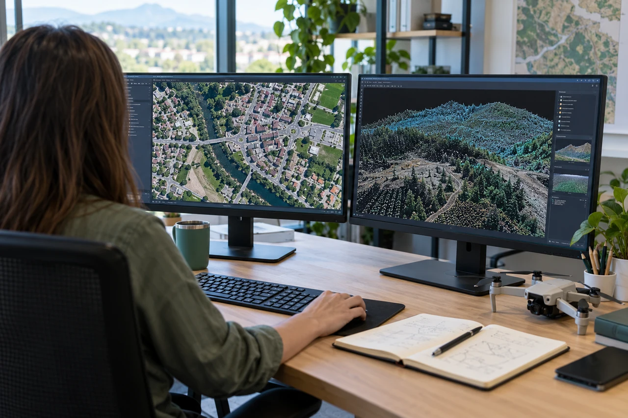
When evaluating Drone Image Processing Software for solar-site construction zones, assess the complete workflow with a representative dataset. DroneCollab can be considered for preparing photogrammetric mapping outputs, while task-specific interpretation and field validation remain essential. Compare the required exports, review process and actual pilot evidence before selecting a workflow for recurring work.